| WGS84 | |
| 36.527418 | -84.821108 |
| 36° 31.645'N | 84° 49.266'W |
| 36° 31' 38.7"N | 84° 49' 16"W |
| 16S 695076E 4044658N | |
| convert to NAD27 | |
MAPS
Select one of the following maps to display this waypoint (WGS84).
GPS
Remarks:
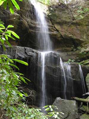
wet-weather falls at headwaters of Pogue Creek. off-trail, Pogue Creek Tract, recent Nature Conservancy acquisition. Also state natural area and maps.
Byron Jorjorian photos