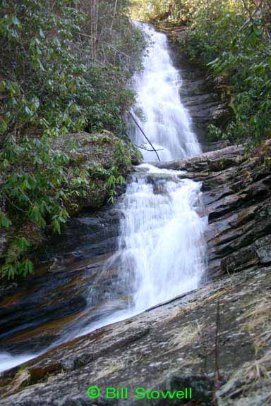
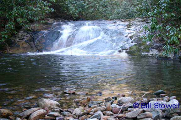
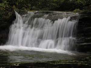
 main falls
| WGS84 | |
| 36.150138 | -82.261700 |
| 36° 9.008'N | 82° 15.702'W |
| 36° 9' 0.5"N | 82° 15' 42.1"W |
| 17S 386499E 4001338N | |
| convert to NAD27 | |
MAPS
Select one of the following maps to display this waypoint (WGS84).
GPS
Remarks:
Numerous falls above and below the main falls, and a 50' cascade feeding in from Fall Branch (see topo). CNF trail 128
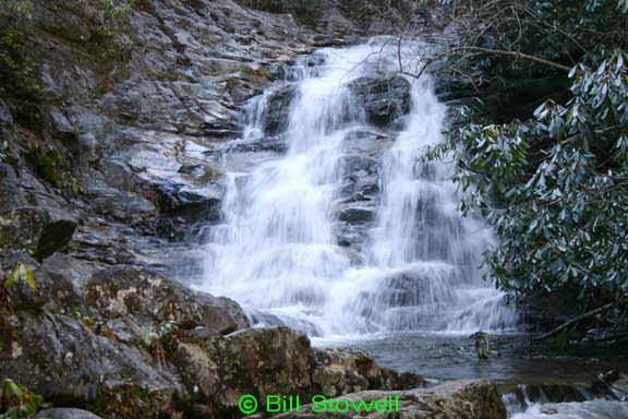
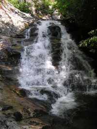
main falls
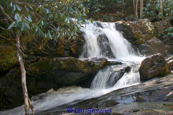
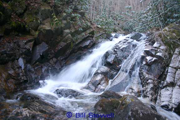
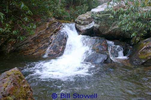
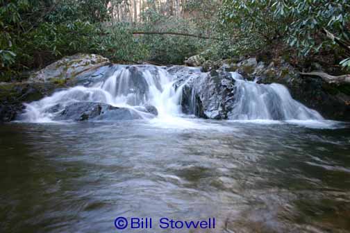
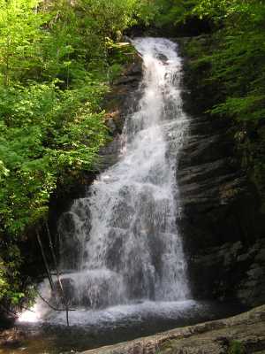
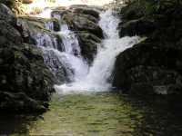
Bill & Craig report 7 more falls downstream
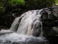
(photos courtesy of Bill Stowell)