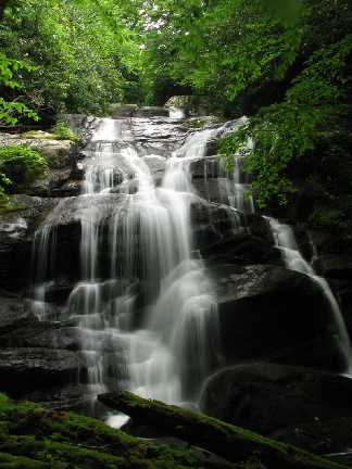
 Marty Silver's photos
| WGS84 | |
| 36.089000 | -82.533700 |
| 36° 5.34'N | 82° 32.022'W |
| 36° 5' 20.4"N | 82° 32' 1.3"W |
| 17S 361922E 3994909N | |
| convert to NAD27 | |
MAPS
Select one of the following maps to display this waypoint (WGS84).
GPS
Remarks:
Reference: Bill Stowell
More falls further upstream at 36.0912166 -82.5372 and a 50' falls at 36.092133333 -82.5382333
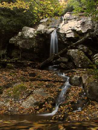
Marty Silver's photos