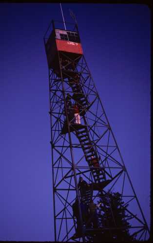
 the tower at sunset
| WGS84 | |
| 35.7022 | -83.1222 |
| 35° 42.132'N | 83° 7.332'W |
| 35° 42' 7.9"N | 83° 7' 19.9"W |
| 17S 308001E 3952995N | |
| convert to NAD27 | |
MAPS
Select one of the following maps to display this waypoint (WGS84).
GPS
Remarks:
This 60' tower was built in 1933 by the Civilian Conservation Corps, and according to Peter Barr, author of Hiking North Carolina's Lookout Towers, it sits at the highest elevation (5842') of any of the remaining fire towers in the eastern US. See article Wikipedia info and hike to Mt Sterling.
the tower at sunset
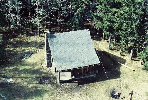 cabin from 1977