9/29-9/30, 2004. Driving in the Alps.
The best perk of the Lyon trip is taking an extra day to drive in the Alps.
I reached the rental desk at the Part-Dieu train station at roughly 3:00 PM,
giving me roughly 40 hours to tour the Alps. In 2002, I did it all in one
day -- bus to the airport, rental car, miles and miles of driving, and back
to Lyon. I did a pretty extensive tour of the Vercors plauteau,
including the poignant museum of the Resistance, and then tried to tour the
Alps east of Grenoble, but petered out. This time, I booked a hotel
in the Vercors that I remembered from my previous trip, so that I could enjoy
the Vercors on Wednesday, and then travel to the haute Alps on
Thursday.
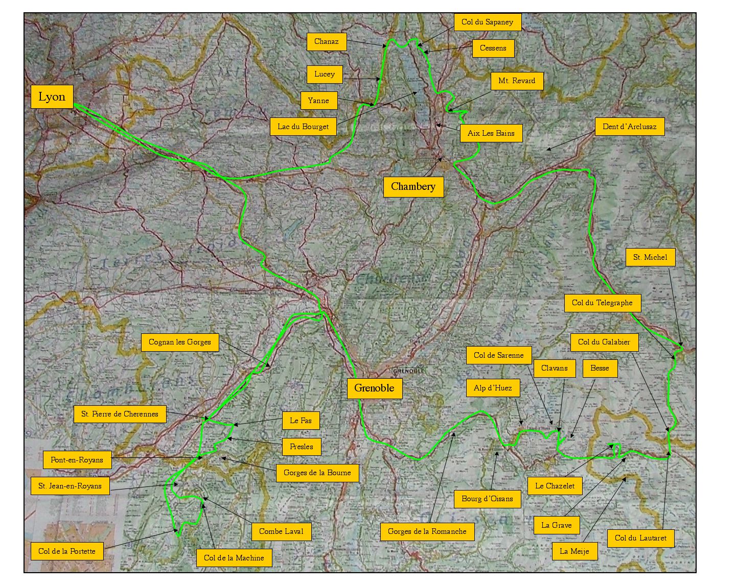
Here's the overview of my two-day itinerary. For reference, it's
65 miles from Lyon to Grenoble.
If you want the large version of this, click here.
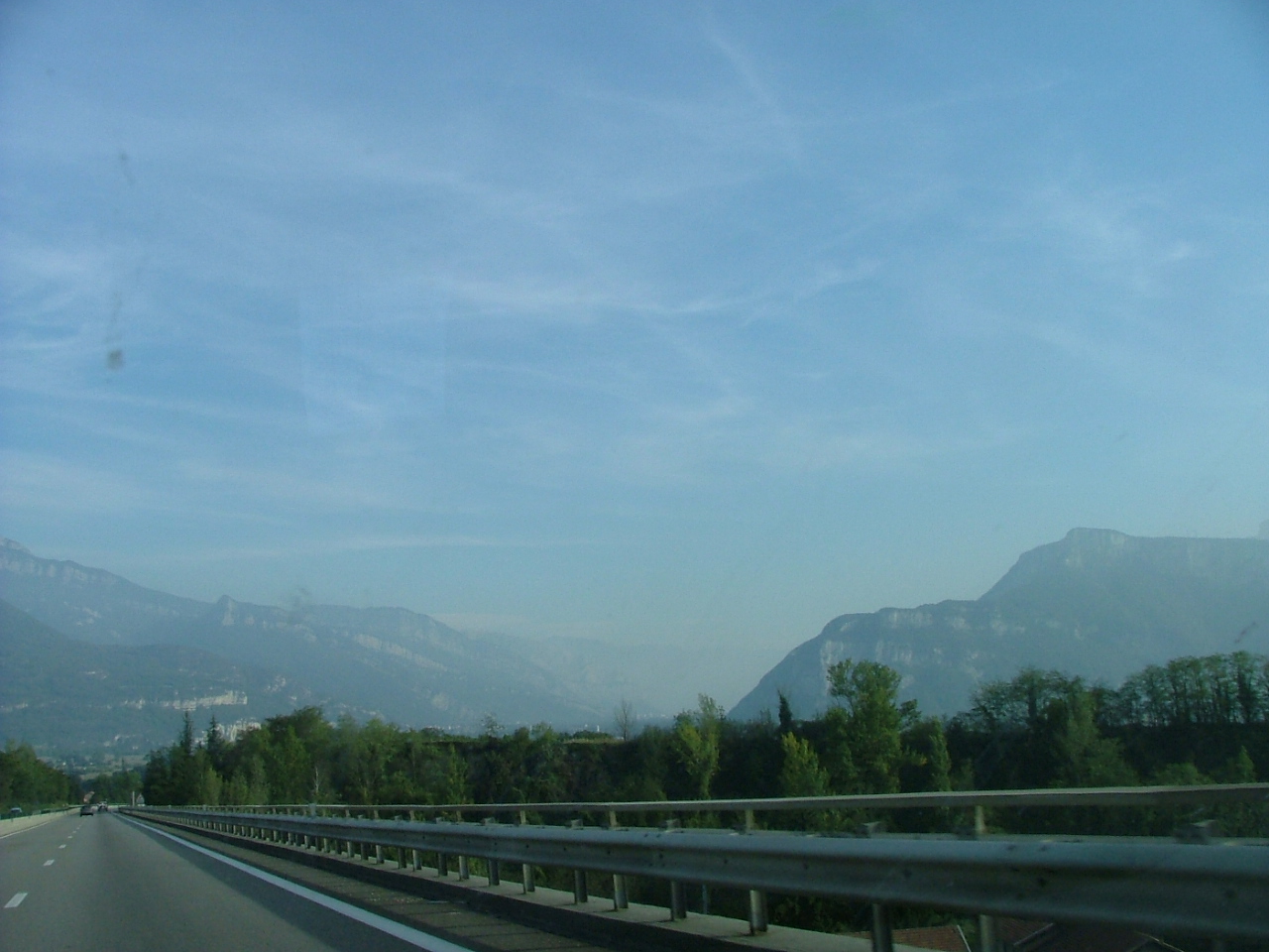
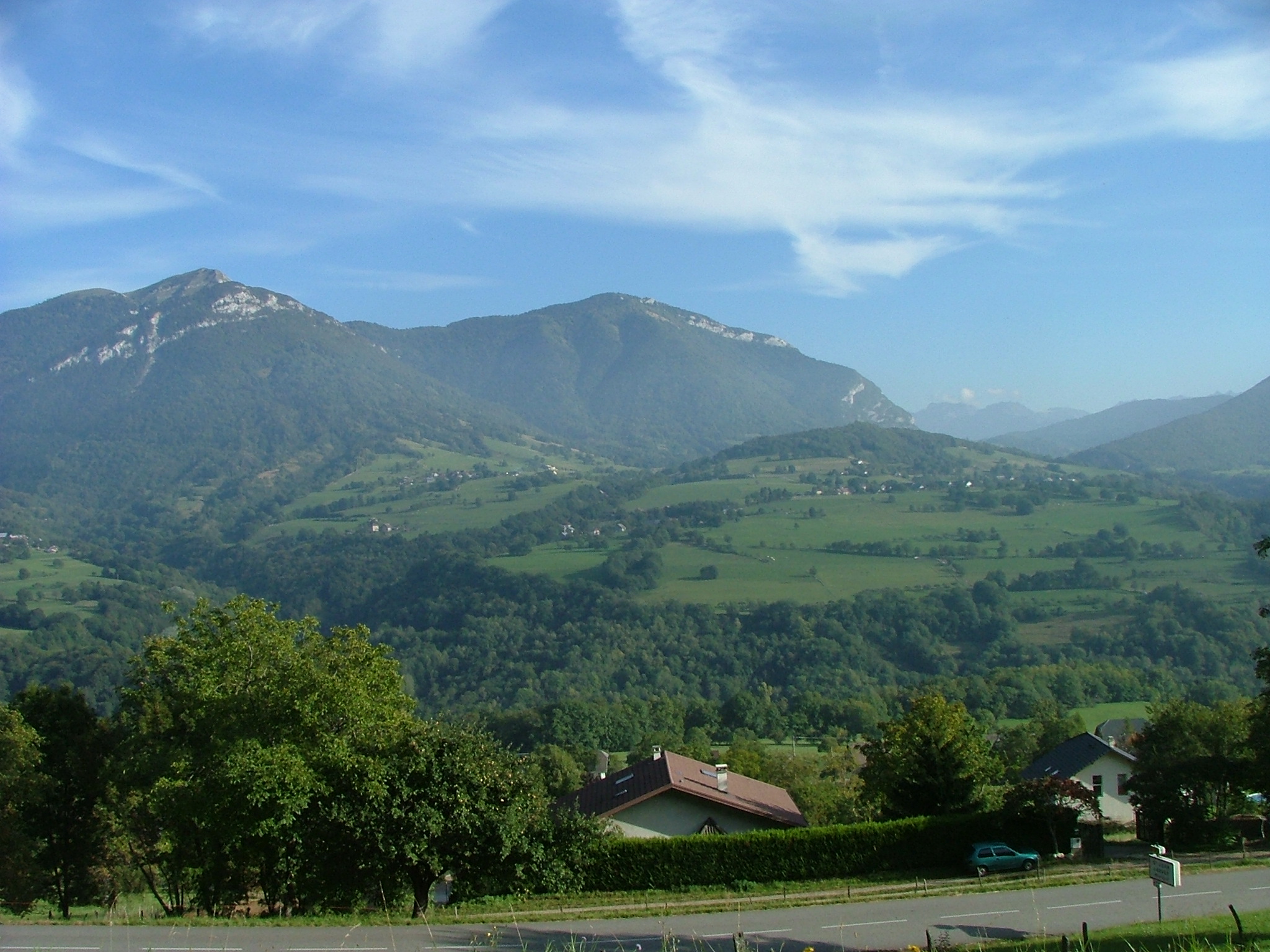
While traveling on the highway east of Lyon, you turn a corner and the
Alps hit you. It's stunning! The highway to Grenoble passes between
these mountains -- more pertinently, the mountain to the right marks
the northern tip of the Vercors plateau.

I slid down the west side of the Vercors, and then decided to take a little
detour up into the plateau. The detour started at St. Pierre de Cherennes,
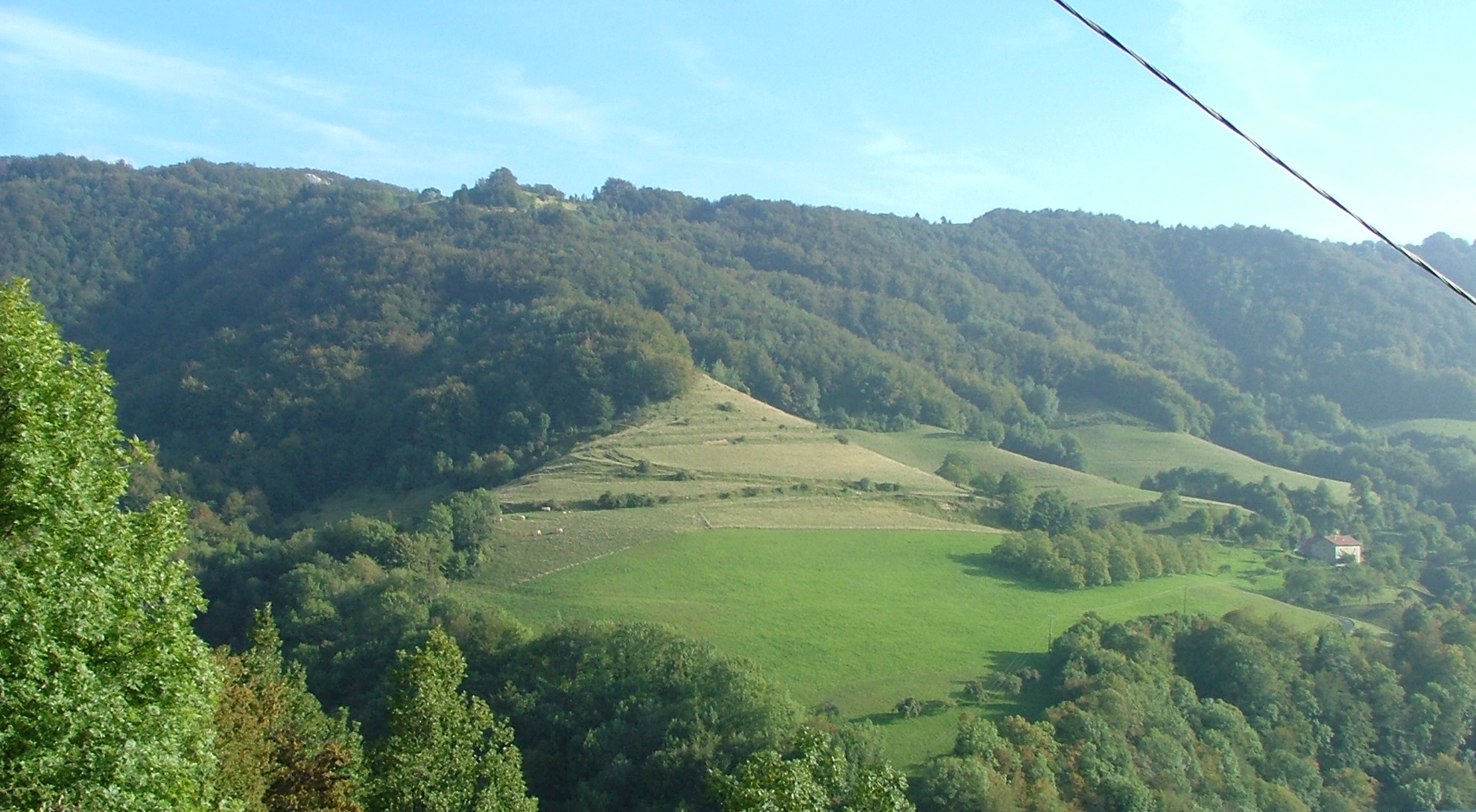
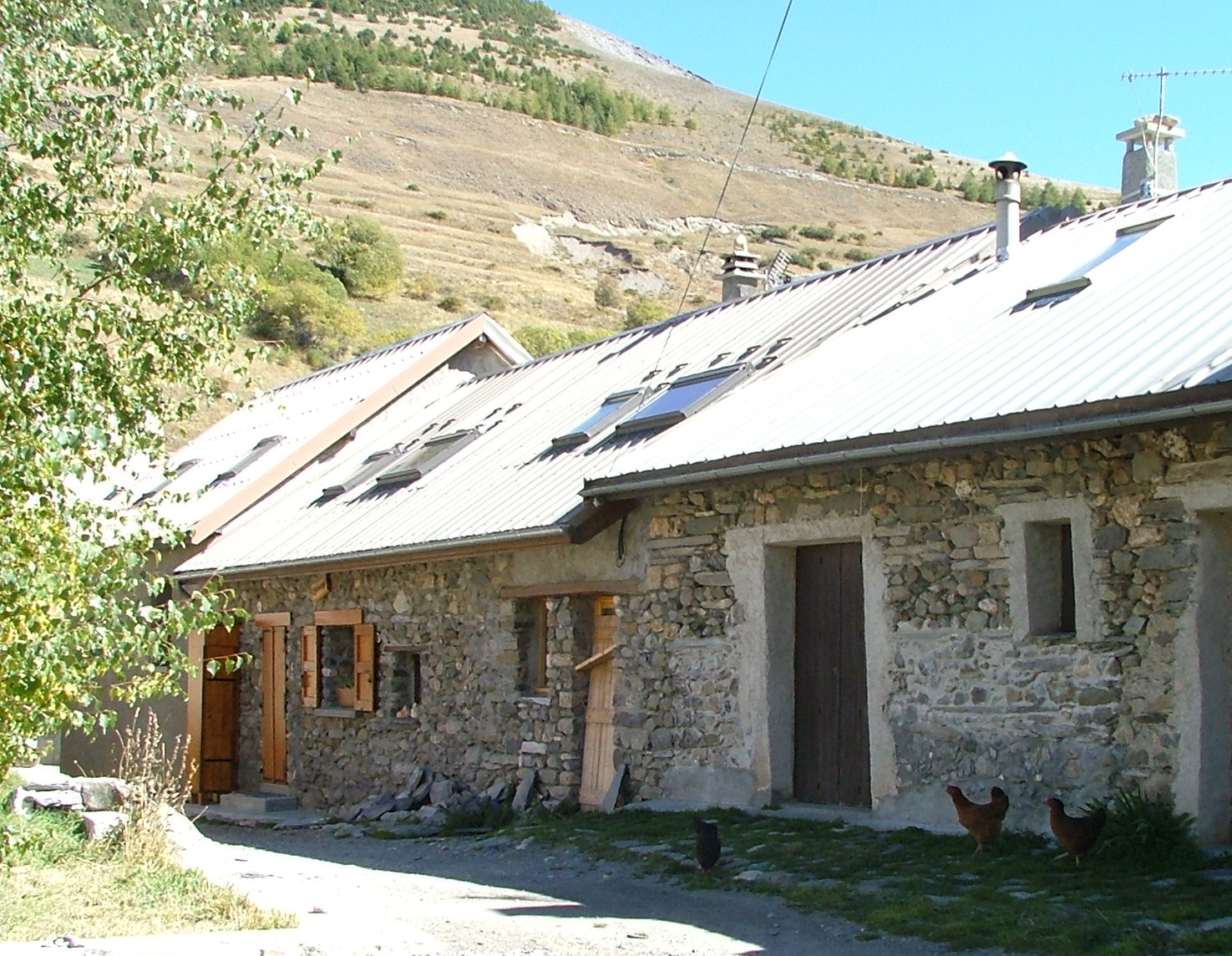
and went through Le Fas and to Presles. This picture is of the route up
to the plateau. Is that not a gorgeously situated farm house?
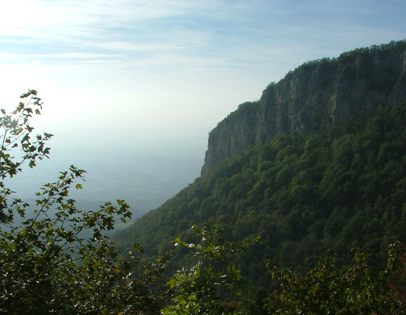
The view from the road was so beautiful that I stopped the car to take some
pictures. Here's one of the edge of the plateau.
A view down to my parked steed.
There's that farm again.
At this point, I've hit the top of the plateau, and the picture is
looking down toward that farm, and toward the windy road upon which
I drove to get here.
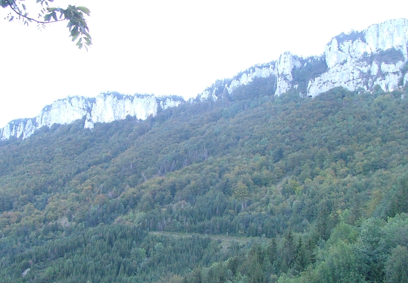
We've passed Le Fas, and are heading to Preles. This is a typical
plateau shot -- we're way up high, and although the foreground is
completely flat, there are mountains and cliffs all around.
We've reached one of those great Vercors surprises -- after a few miles
of flat, we turn a corner, and boom -- mega-steep mountain valley,
and we'll be going down, down, down...
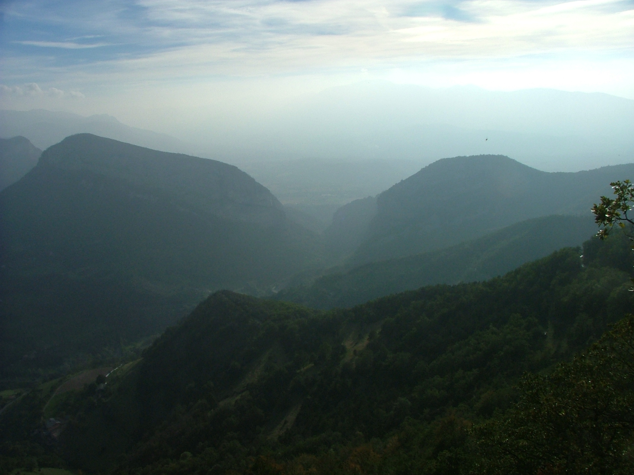
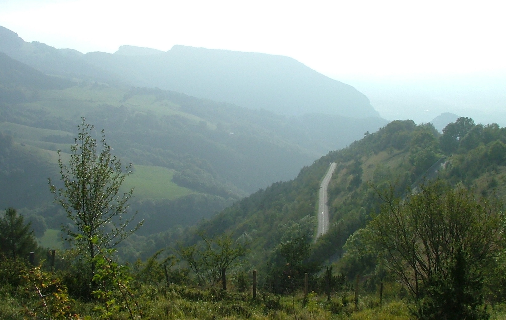
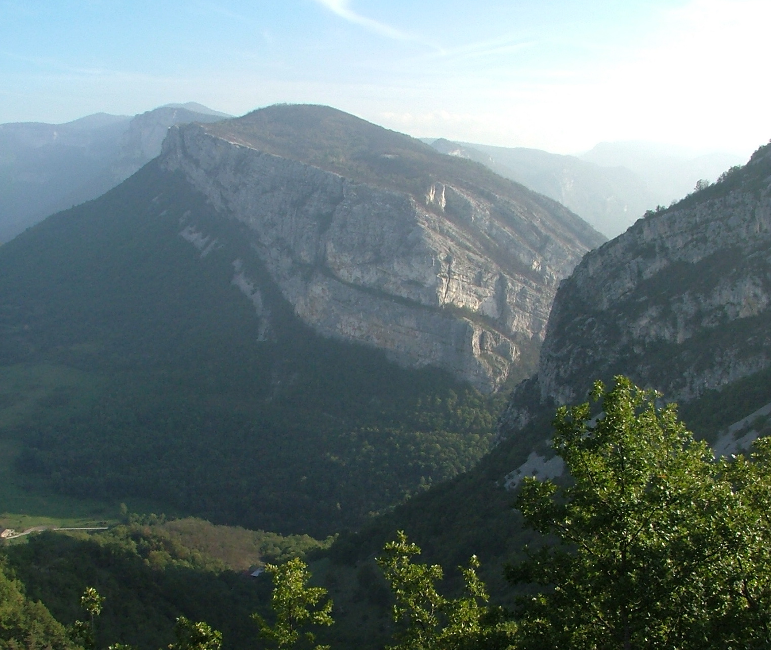
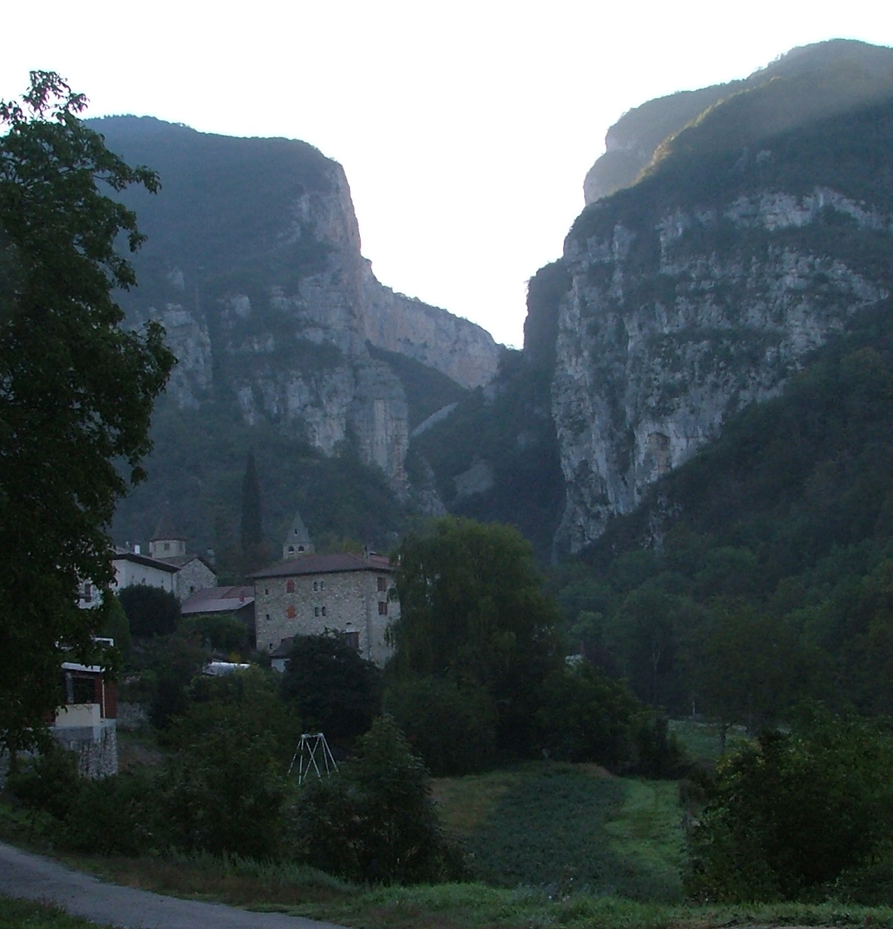
Although hazy, this is where the "Gorge de la Bourne" empties into the
land beneath the plateau. I would end up driving through that pass
to Pont en Royans.
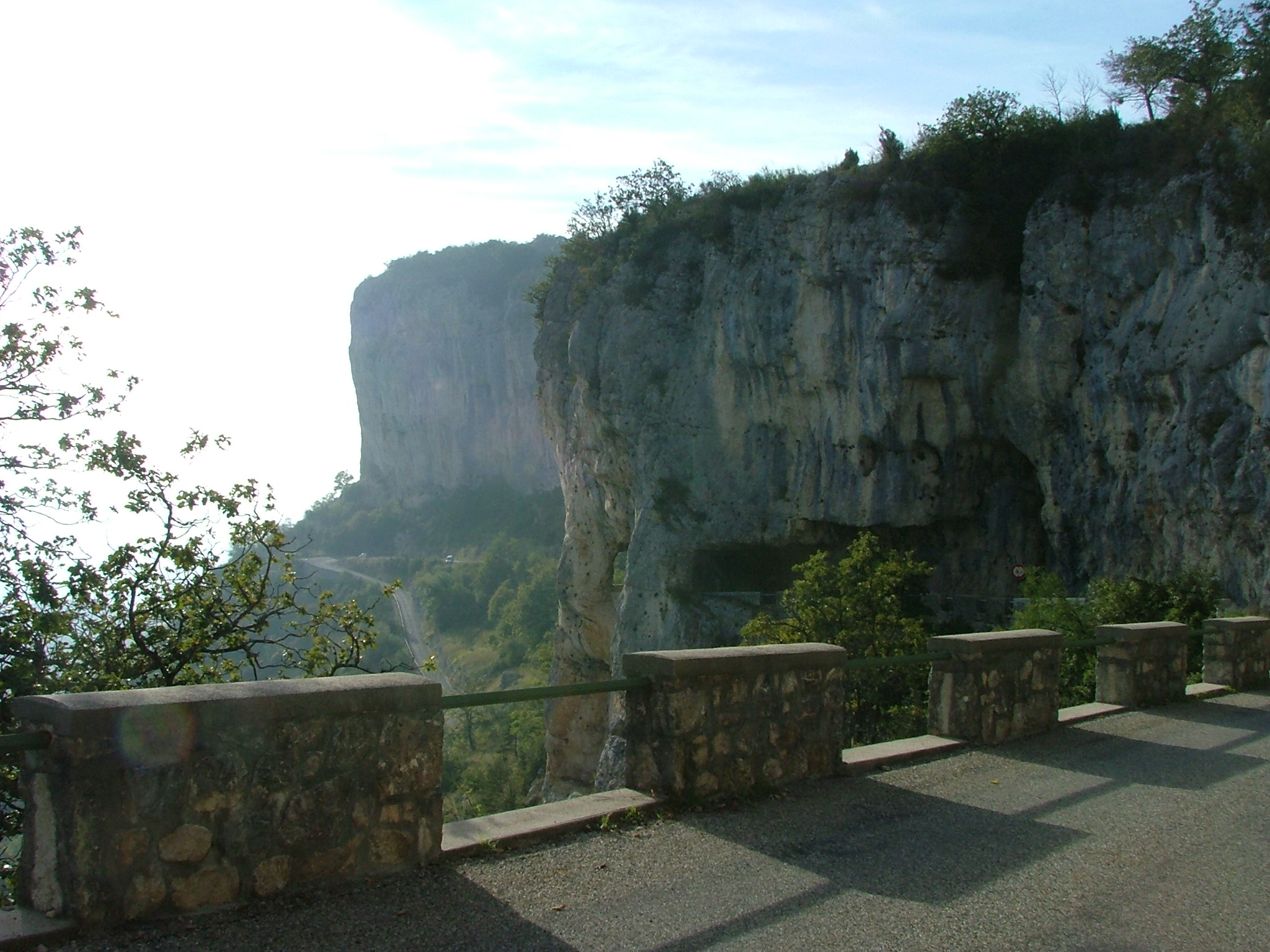
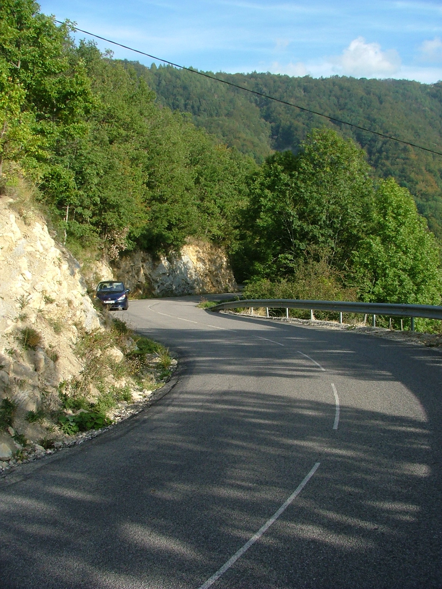
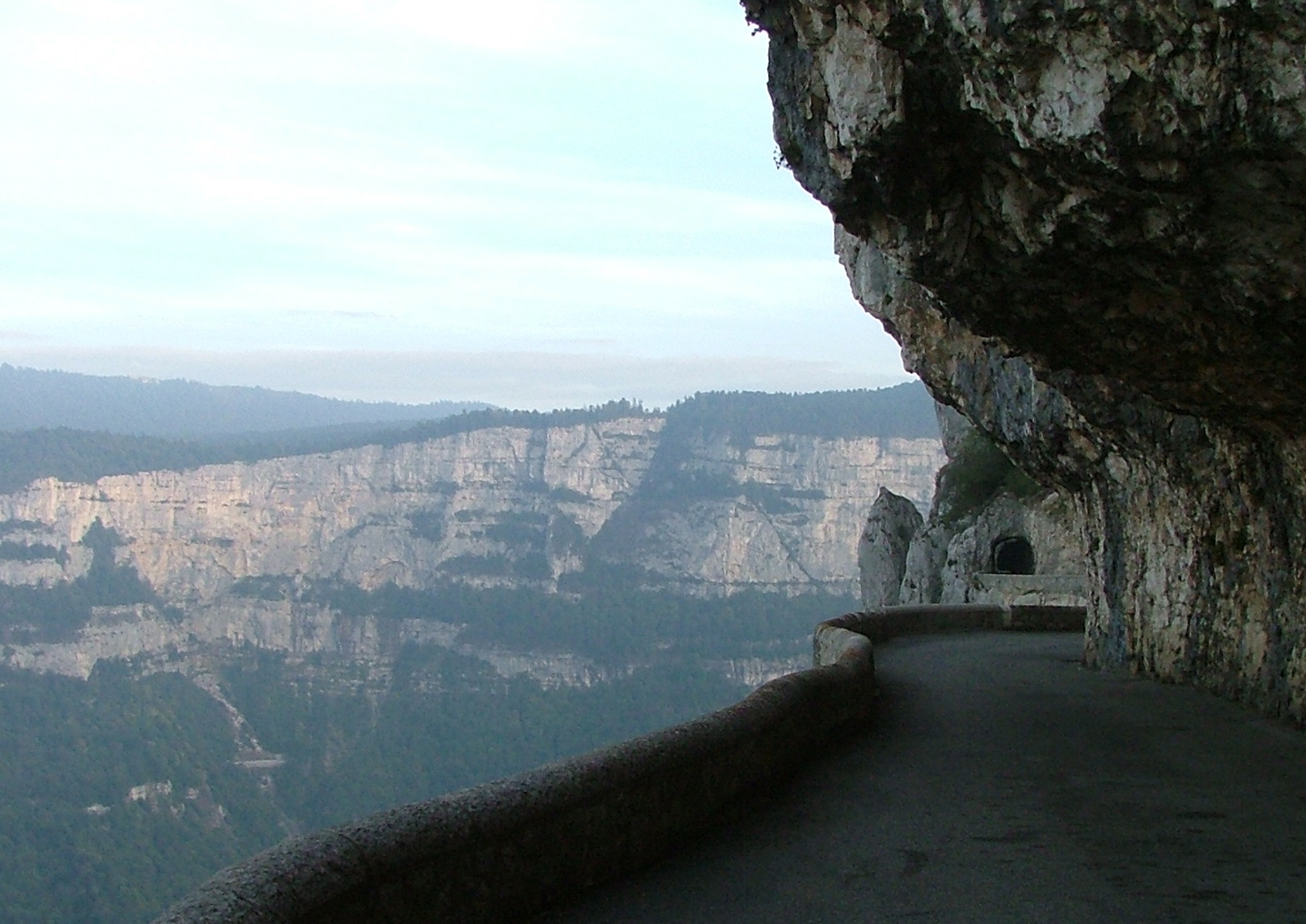
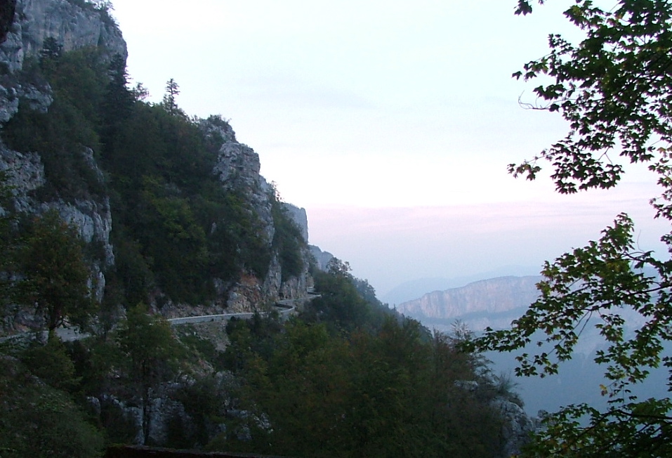
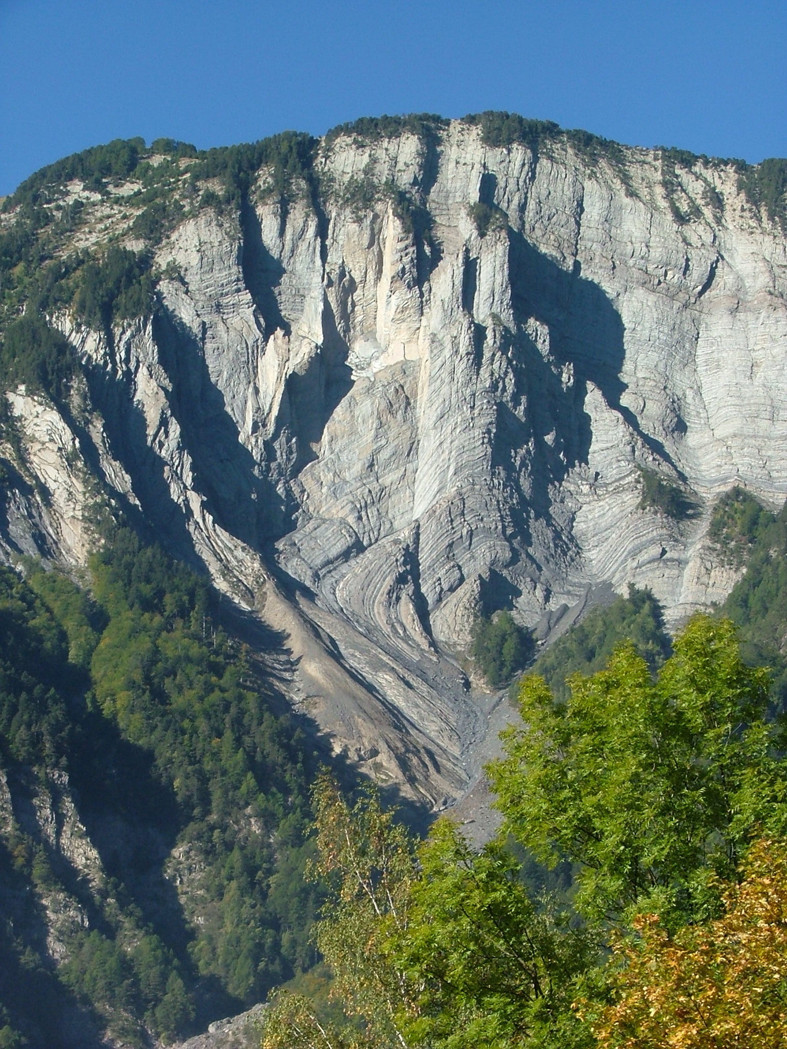
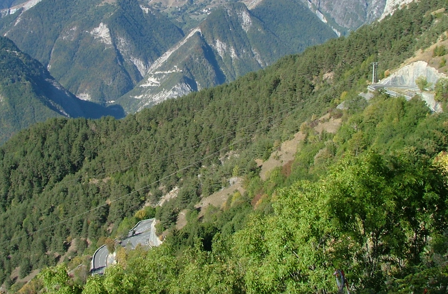
The road is typical -- carved out of the cliff at occasions.
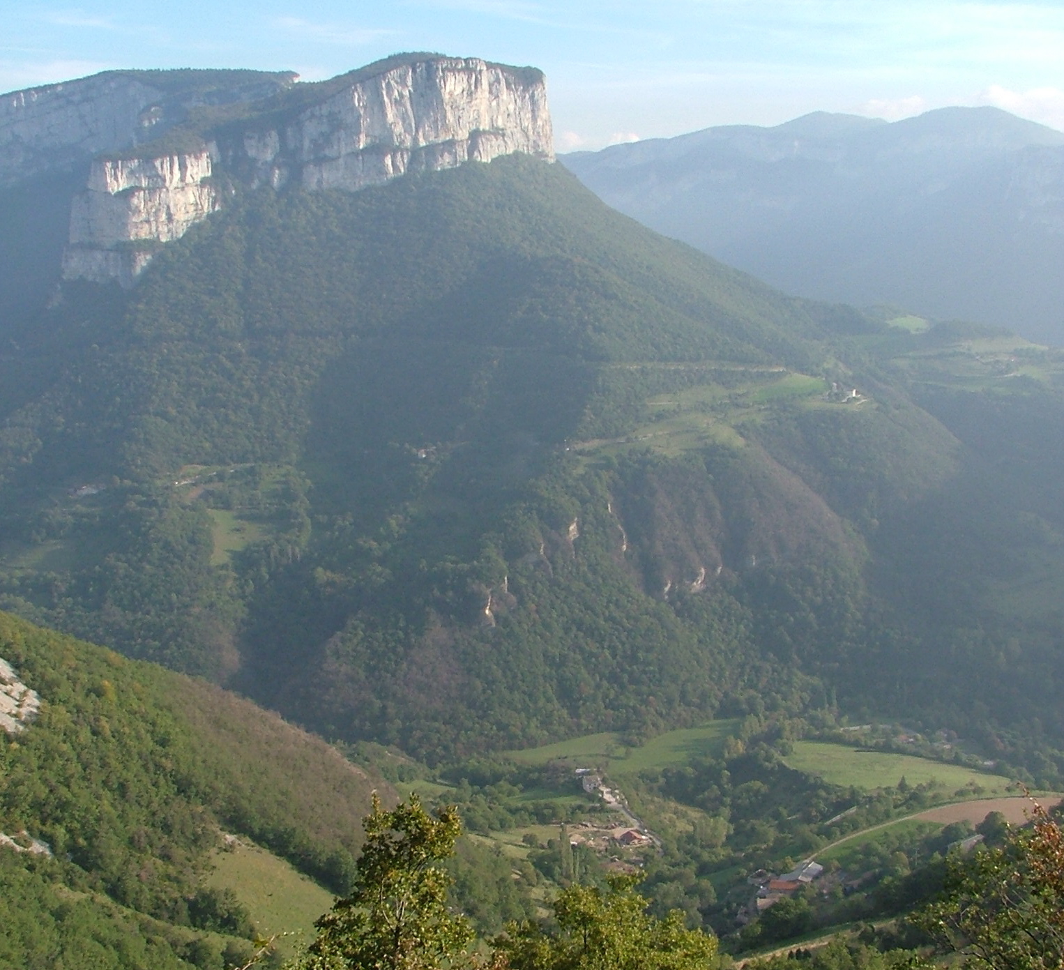
To the left is the upper parts of the "Gorge de la Bourne." That
cliff at the top of that mountain in front is what you saw jutting
up in the left of that flat drive three pictures back.
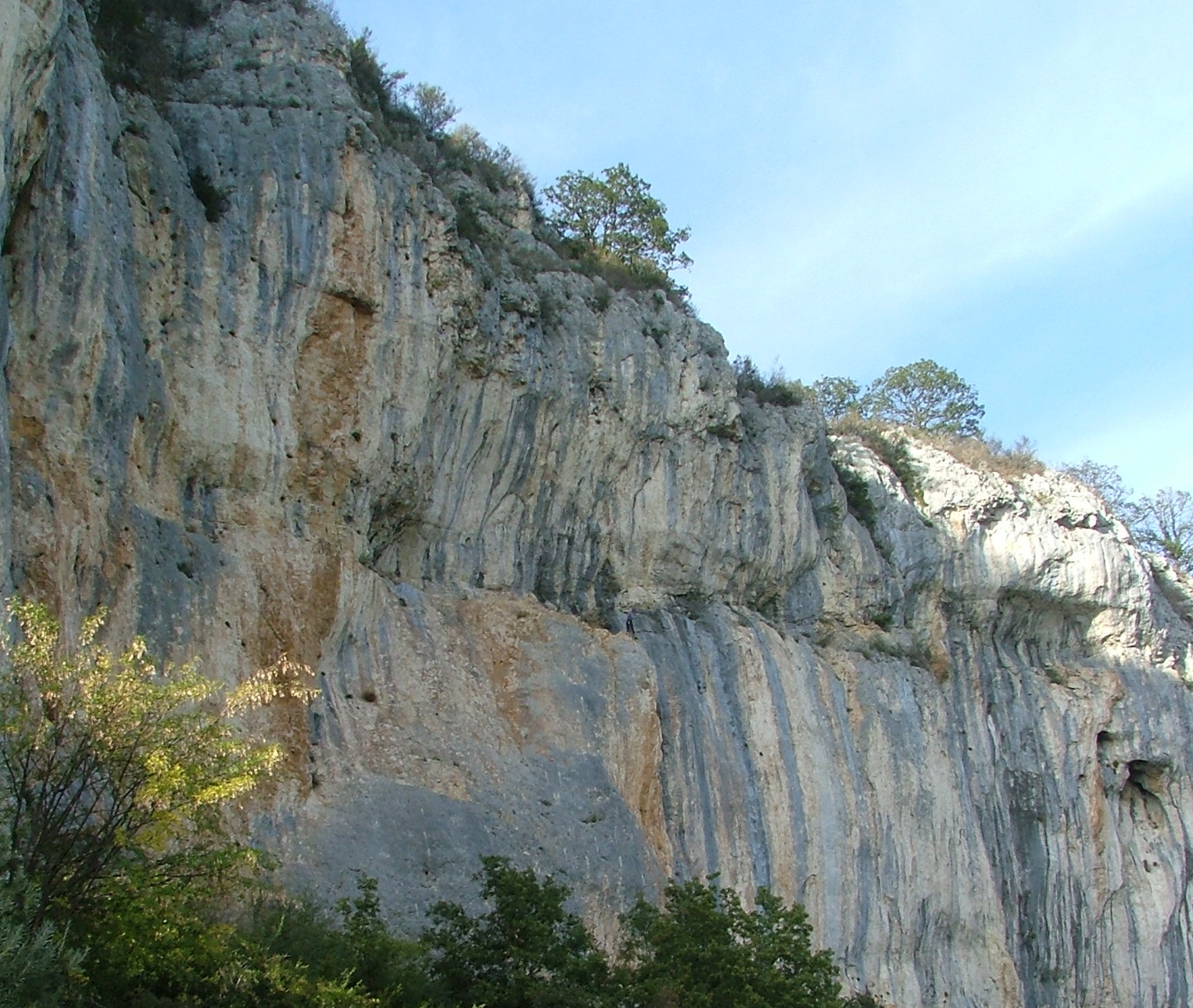
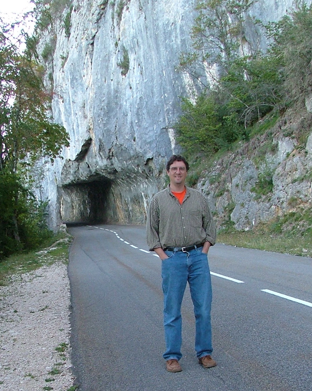
Here's the cliff under which I'm driving -- if you know where to look,
you can see a French rock-climber....

There he is!
A less hazy view of the crack leading to Pont-en-Royans.
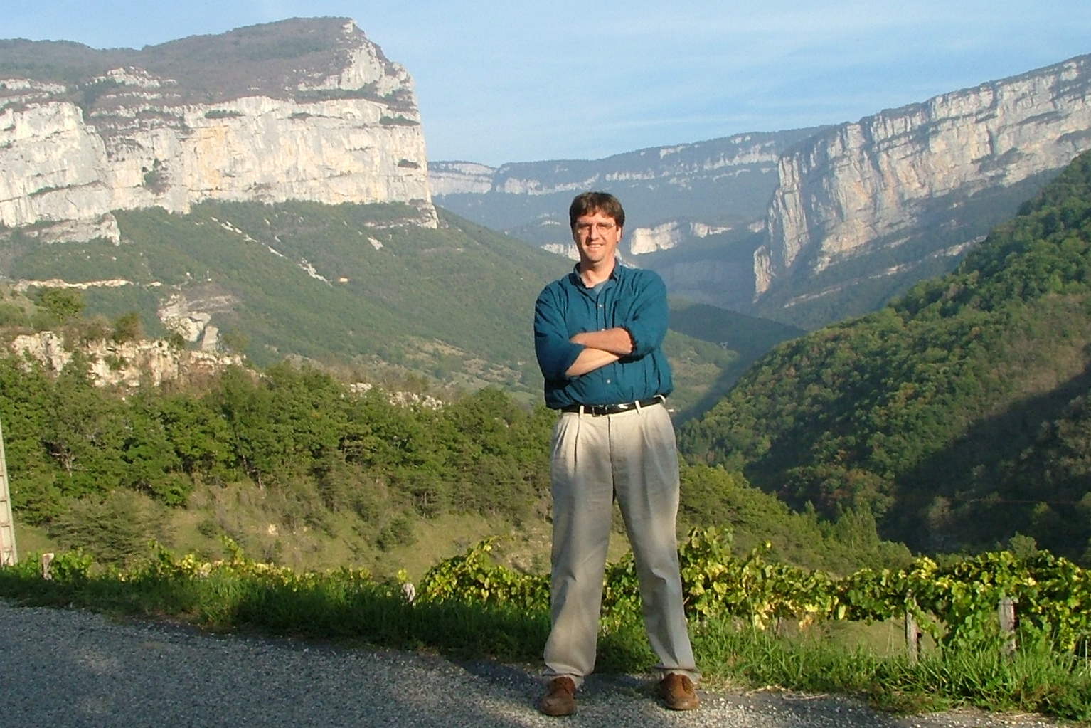
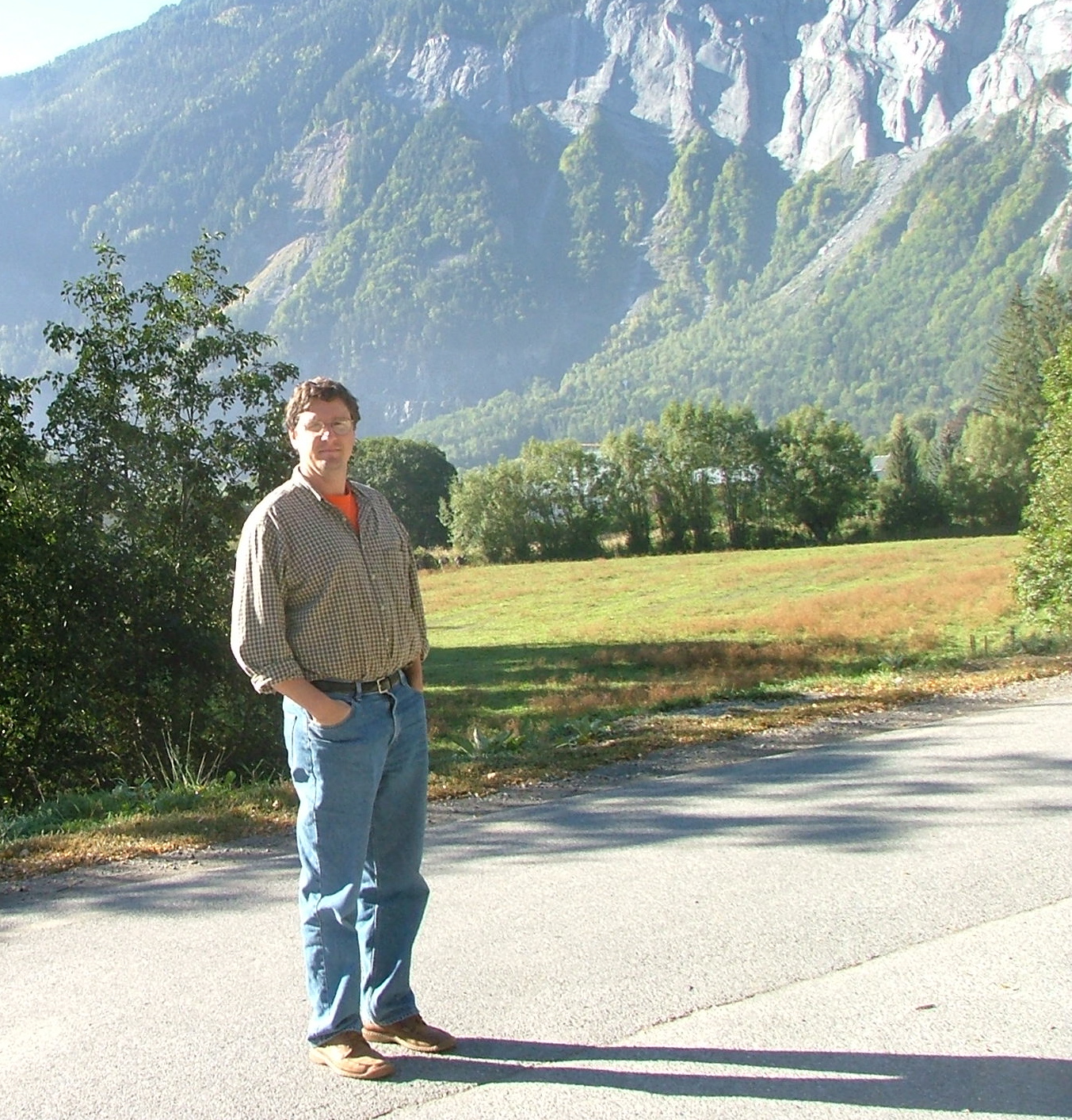
A time release of Jim, still in his workshop clothes, looking
up the Gorge de la Bourne.
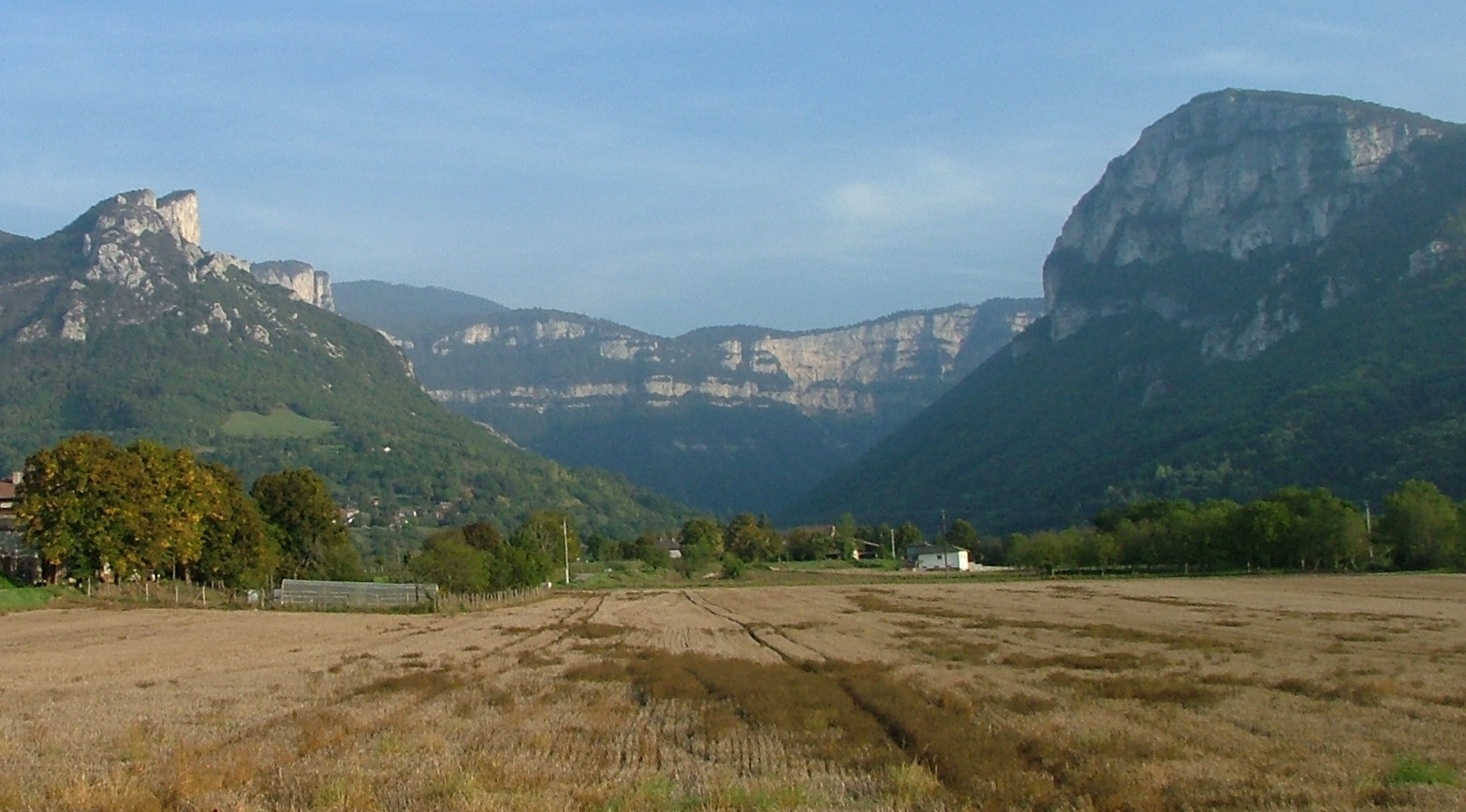
We've left the plateau via Pont-en-Royans, and are driving southwest
to St. Jean-en-Royans. Here's a shot of the entrance to the Combe
Laval, a huge valley that I will be driving to the top of in a few
minutes (I'll be going around the right side). But first, some
pizza in St. Jean-en-Royans -- the butcher-dude was very nice even
though he (and everyone else I talked to) spoke no English. I
chose between pizza and rabbit livers "a la maison." That wasn't
really a difficult choice...

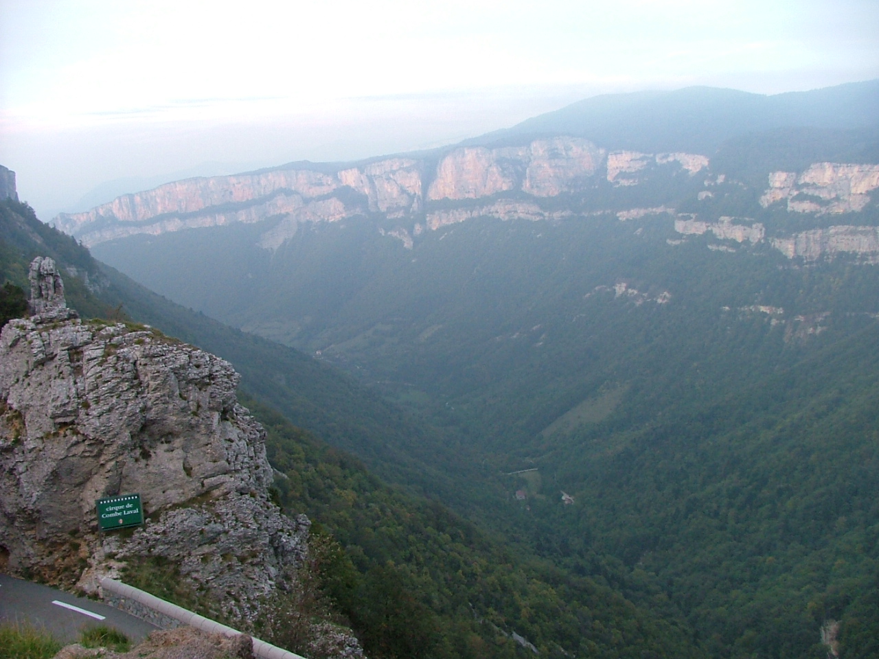
After some winding, we reach the little crack out to the rim of
the Combe. I parked and walked.
The view over the left side of the road. The Michelin guide calls
this drive "spine-chilling" and "vertiginous".

A French couple walks along the road. We exchanged bon soir's.
I thought I might give them an "incroyable" too, but then
again, that might spark conversation, which I wouldn't be in a
position to provide...
Another view down the road.

And yet another.

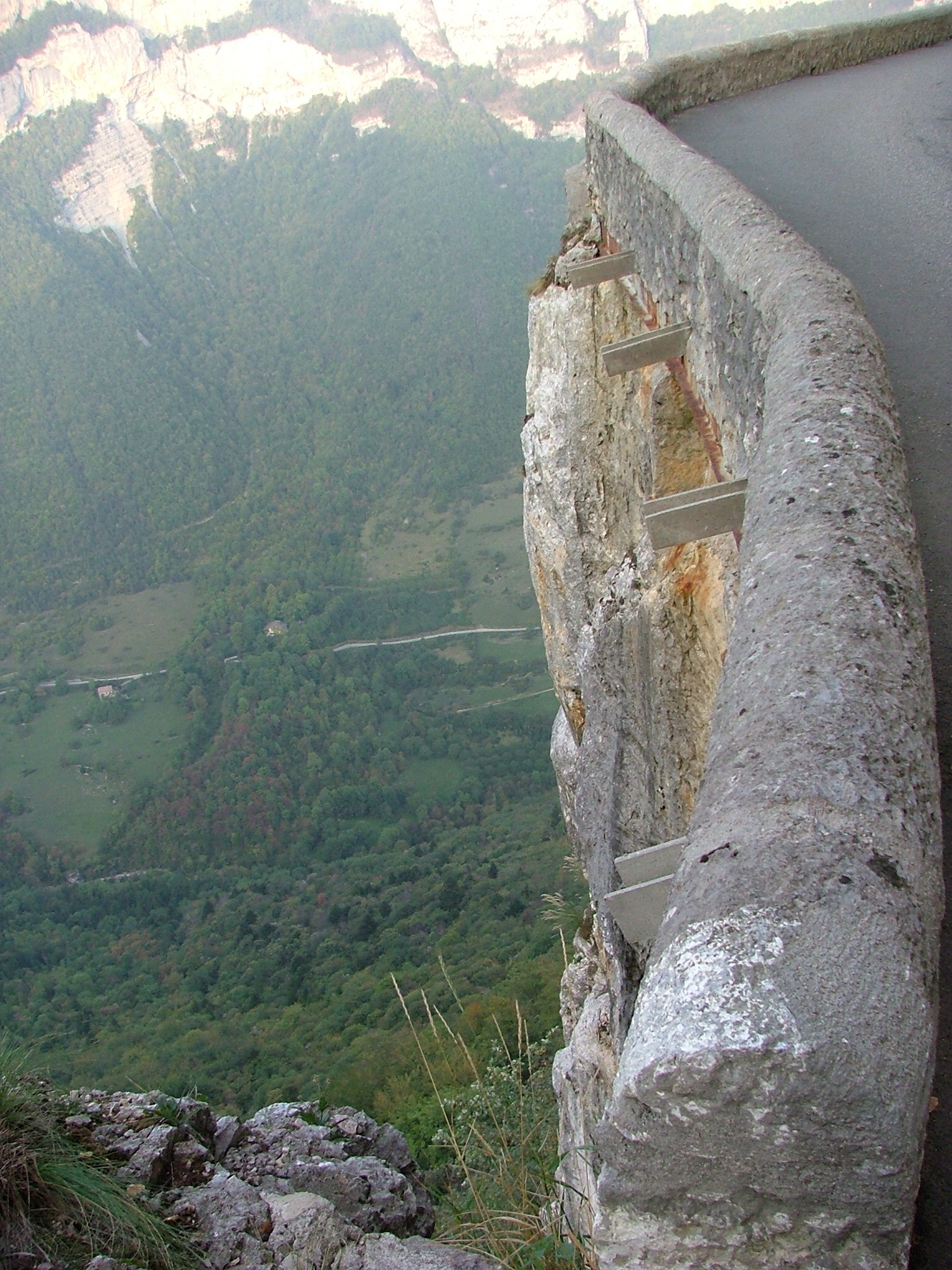
I balanced the camera on the curved siderail to get a time-release
of me goobily peering out.

The view down toward St. Jean-en-Royans. That's probably close
to where I took the picture of the valley.
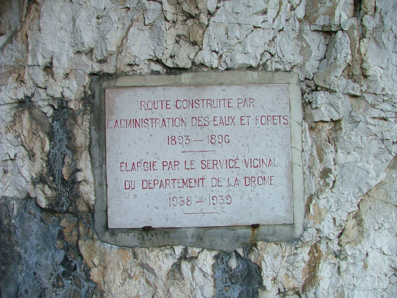
Impressive -- the road was constructed in 1893, and then enlarged
in 1938.

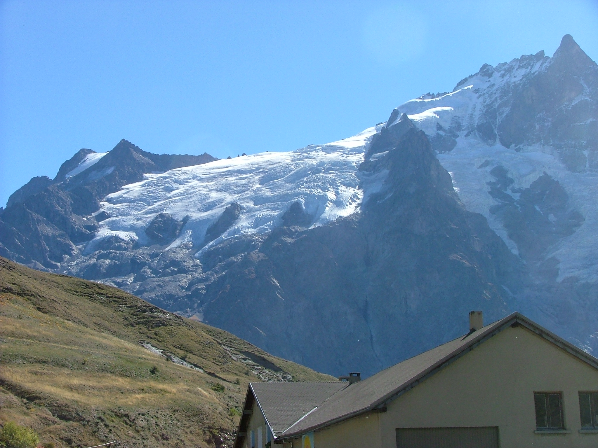
I've reached the top, and at the top is my hotel -- the "Hotel
du Col de La Machine," named because before the had a road
up here, they had a machine that would cable stuff up and down. Or
at least that's what I understood from reading the text on the
lobby wall, which, of course, was in French, so I may have
gotten everything wrong....
I parked, checked in, and then took a little walk up the hill
overlooking the road -- nice valley views.

More of the same. When the trail cut into the woods, I gave up,
and instead went back to walk the road a bit.
And what have we here? Looks like there's an old and a new
road. Time to check out the old road.
A nice view of the road hugging the mountainside.
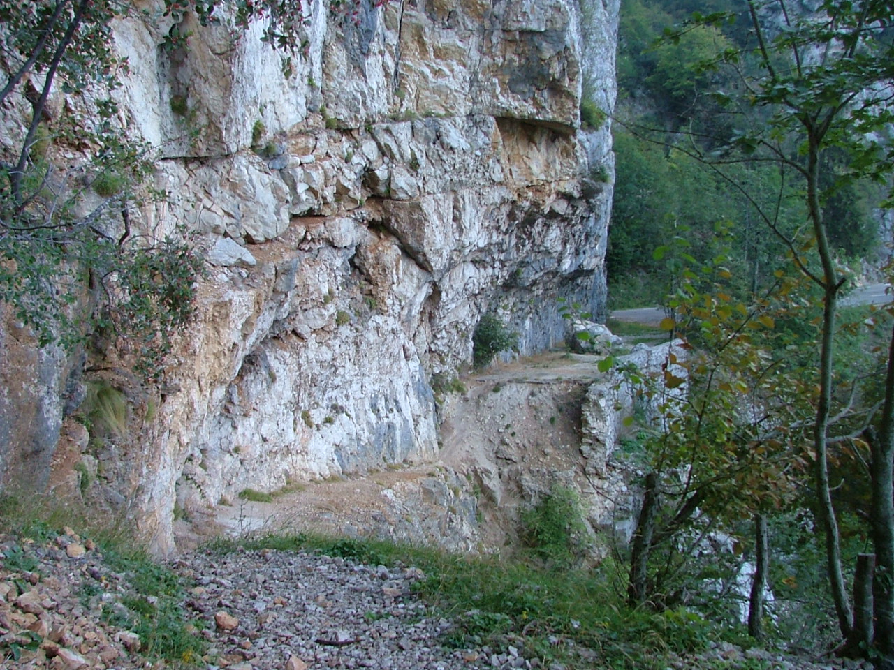
Now we see why the old road is no longer in use -- a section
has eroded away.
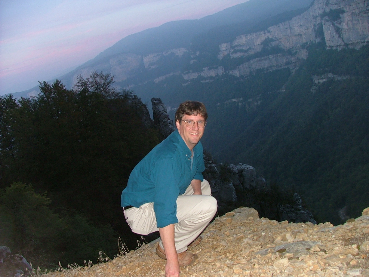
There's a time-relase of me squatting at the edge of the
eroded road bed. Suzy has already seen these pictures
yelled at me for being too
close to the edge...
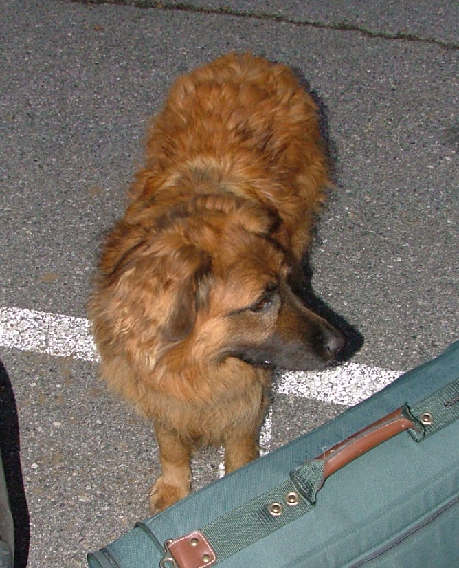
Getting my back from the car -- I am helped by le chien du
hotel du col de la Machine. He wasn't overly friendly.
I spent the night mapping out my driving itinerary for the next day,
aided by Terry and Geoff's Michelan map, which must be something
like 4 feet by 8 feet. Huge and Detailed.
I was up early -- before 8:00, and set off on my marathon drive,
which, if you're reading this, you'll be taking with me by photo.
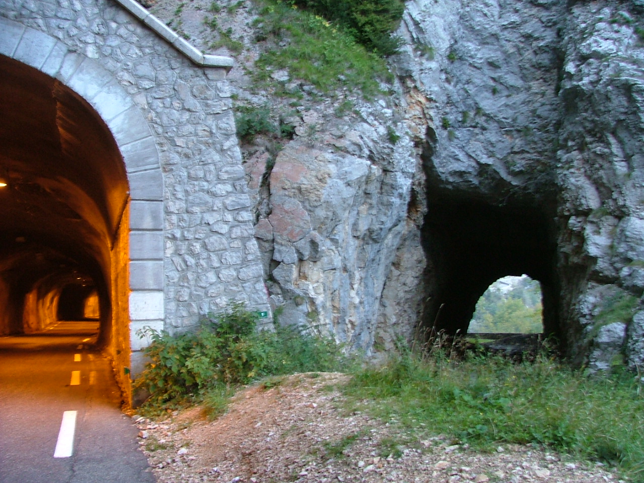
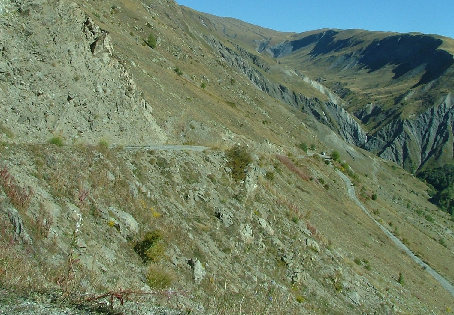
I dropped out of the Vercors by way of the Col de la Portette,
another cliff-hugging road, although nothing so dramatic as the
Combe Laval road. Here's a time-release of bright and cheery
Jim, going through yet another tunnel through the rocks of the
Vercors.
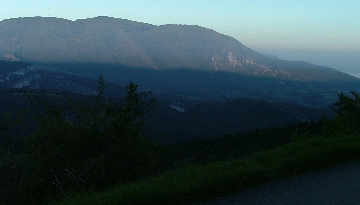
You can see the shadow of the the sun coming up on the valley
going back to St. Jean-en-Royans.
I came down from up there somewhere...
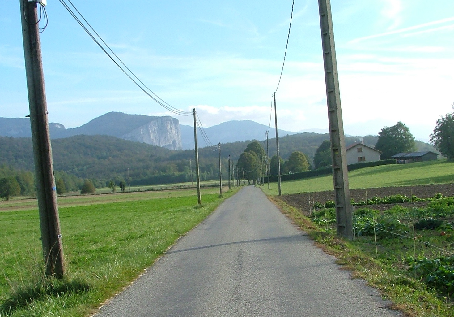
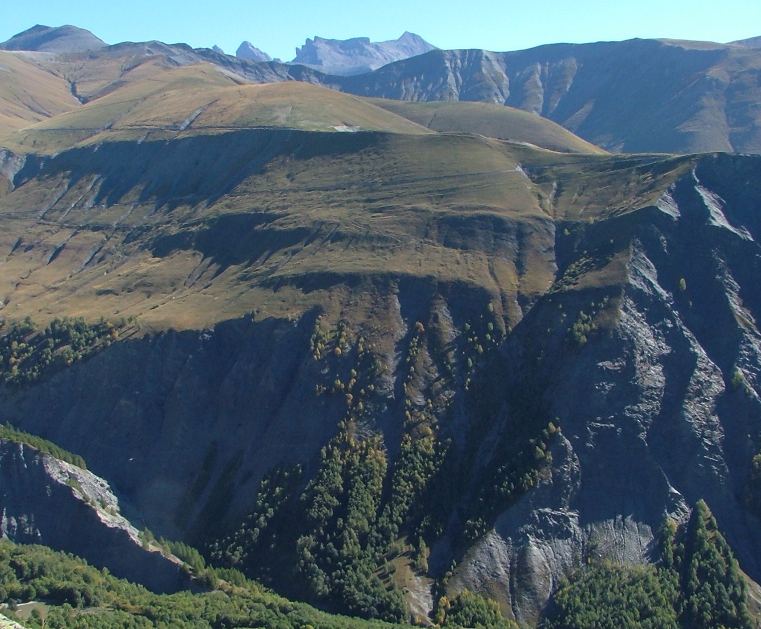
After descending, I skirted the plateau until I got too close
to Grenoble to continue quickly on the side roads. Here's where
I stopped for some OJ & Yoghurt -- at Cognan-les-Gorges. The
man at the store thought I should have a baguette too. That's
the Gorges du Nan, and as is typical, if there's a crack in the
plateau, there's a road through it -- the road through this one
goes 9km to a ski area.

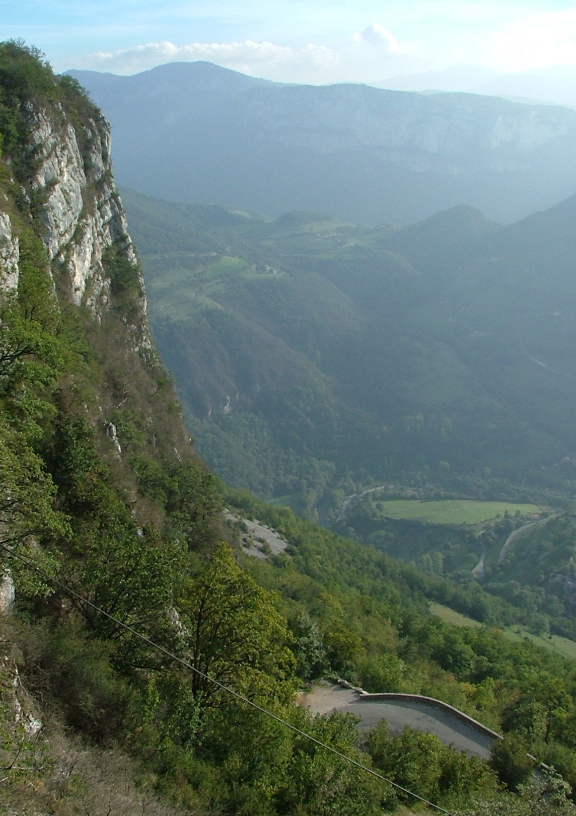
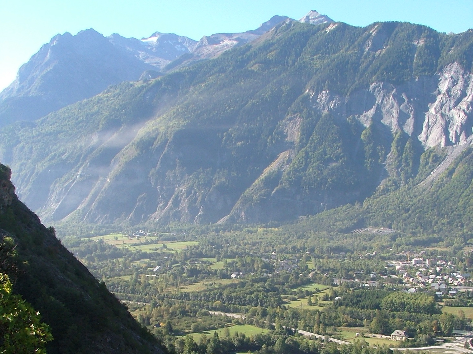
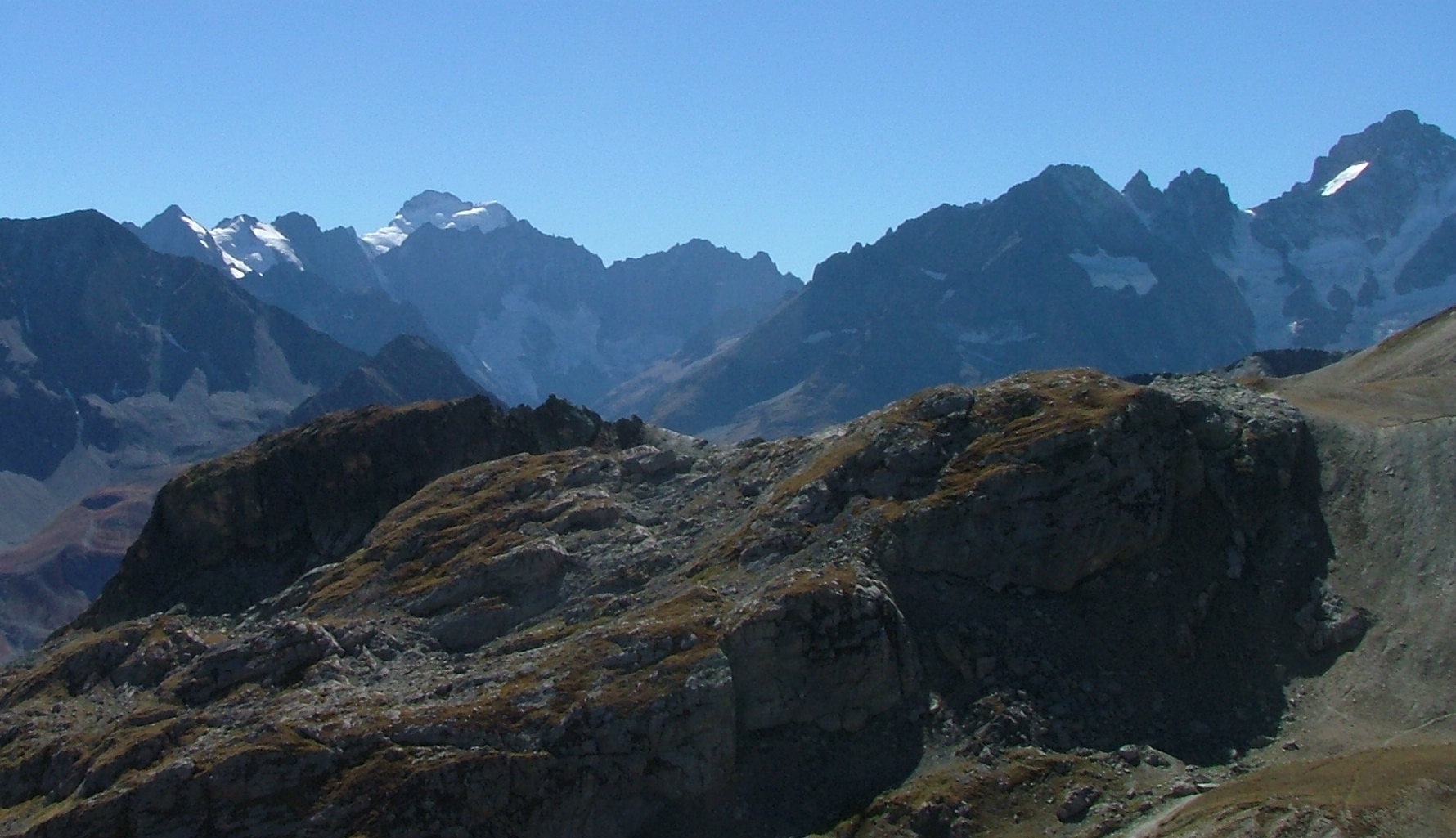
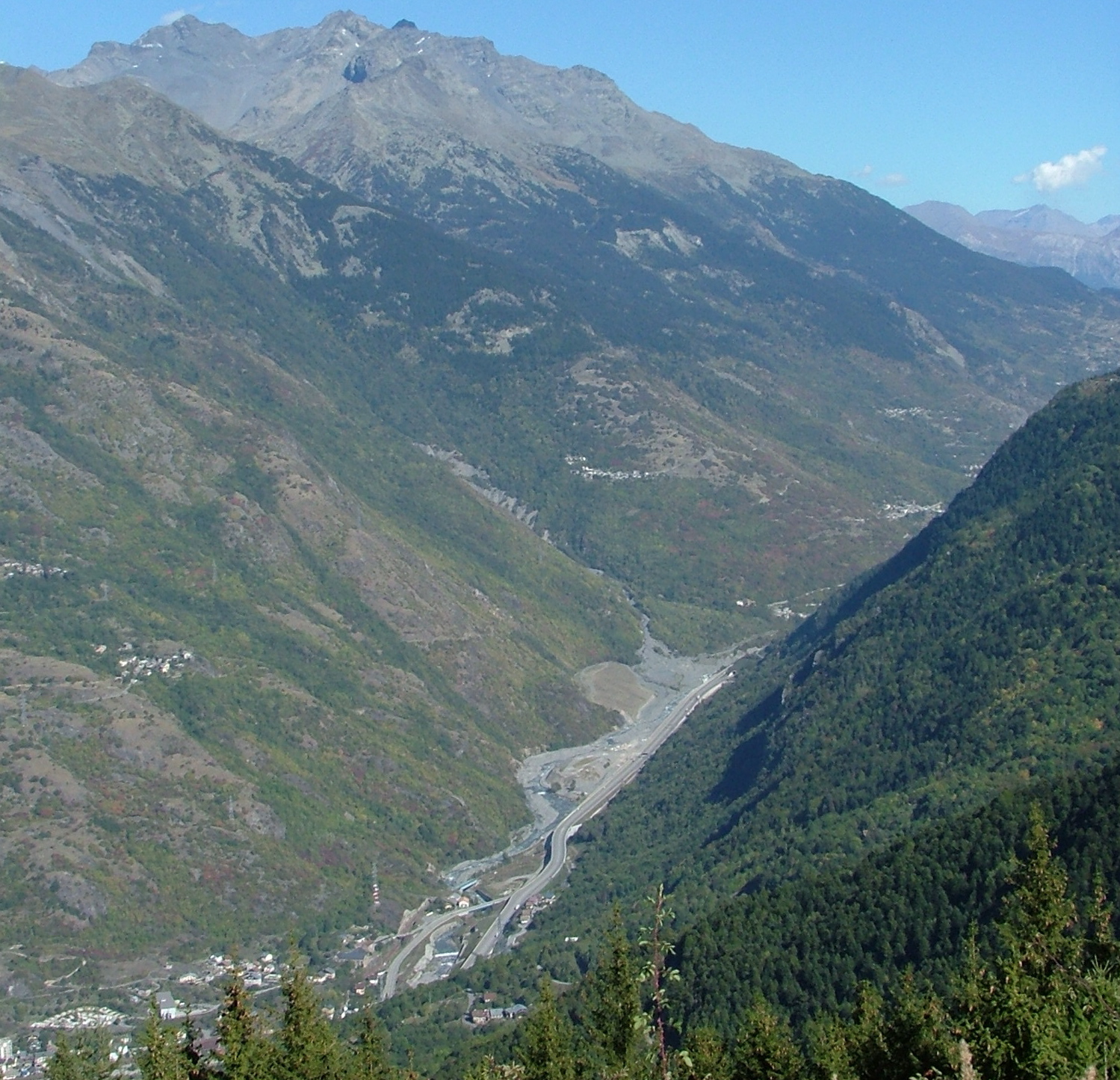
I'm through Grenoble now and into the Gorges de la Romanche, which
is an extremely narrow gorge with huge mountains on either side.
This is about where I gave up driving two years ago. I didn't
see the yellow van with the picture of Mr. T on it this time. Pity.
A time release at Bourg d'Oisans. This is the gateway to l'Alpe
d'Huez, the famed Tour de France climb.
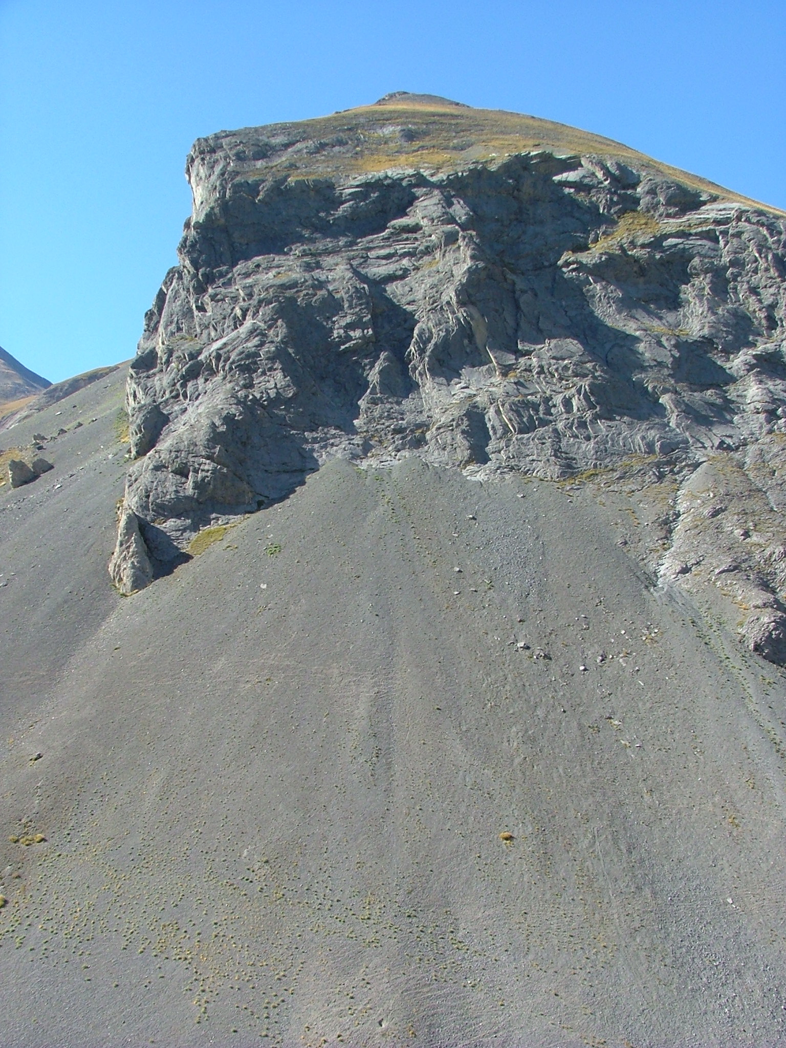
I liked the pattern in the rock here. I'm sure mom or Terry could
tell me why it's that way, but I don't particularly care -- it's pretty.
One of the great things about the Michelan map is it tells you where the
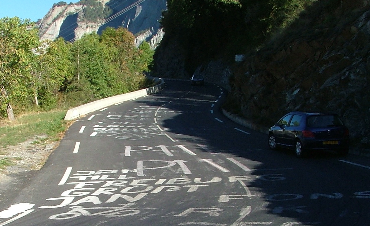
good overlooks are. So I decided to go up l'Alpe d'Huez, and then take
a side road over to some good views. The road up is a hoot -- since it's
a Tour de France favorite, the road is covered with biker graffiti
(you can see a Lance Armstrong one up past my car).
Going up -- looking down the valley to the Bourg d'Oisans.
There's a good shot of the road with its switchbacks. Glad I'm not
on a bicycle.
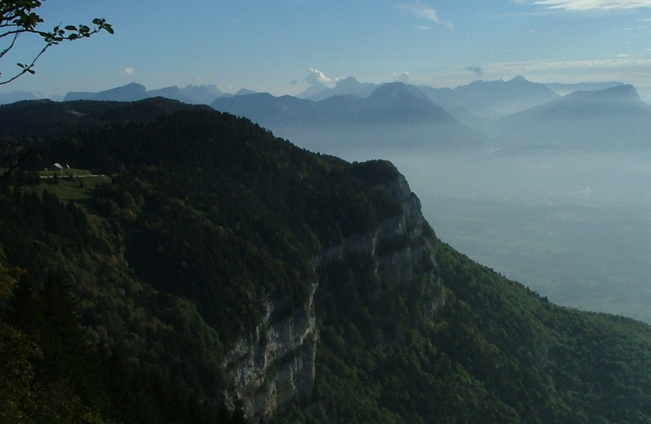
I'm on top now. Alpe d'Huez is an ugly ski town. However, this is a good
view. Between the knobs in front and the glaciered mountain
to the rear is the Gorge de la Romanche. Steep country, this.
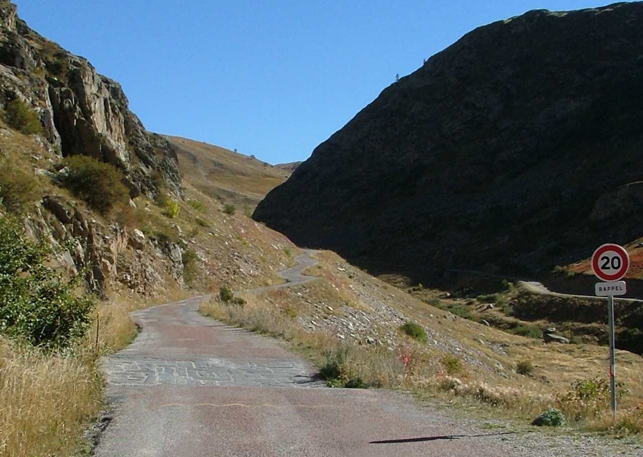
Finding the road out of l'Alpe d'Huez took some doing, because it was
completely unmarked, and there was quite a bit of construction. I
eventually found it, and should have taken a picture, because the sign
said (my interpretation): "This road is dangerous -- if you get hurt,
it's your fault, and not ours, and you understand this. Speed Limit
20 k/h". Sounds promising, no?
In case you don't know, 20 k/h is really slow, and there were
times on this road where I did not dare to go even close to that fast.
There's my road -- this was a great stretch -- I thought I'd be
be going around that road to the right, but no, the road went
basically straight up that hill and over a very high pass.
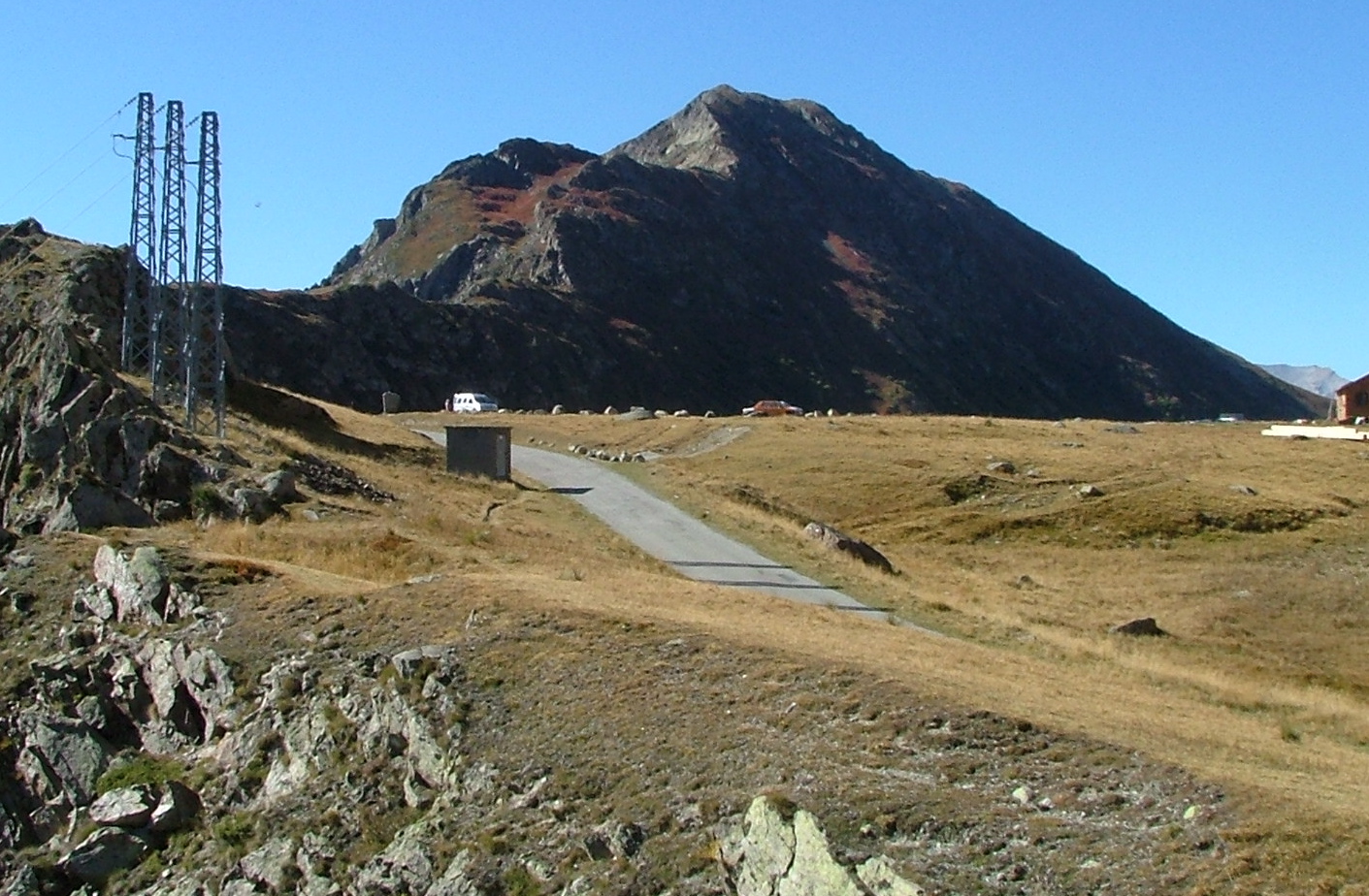
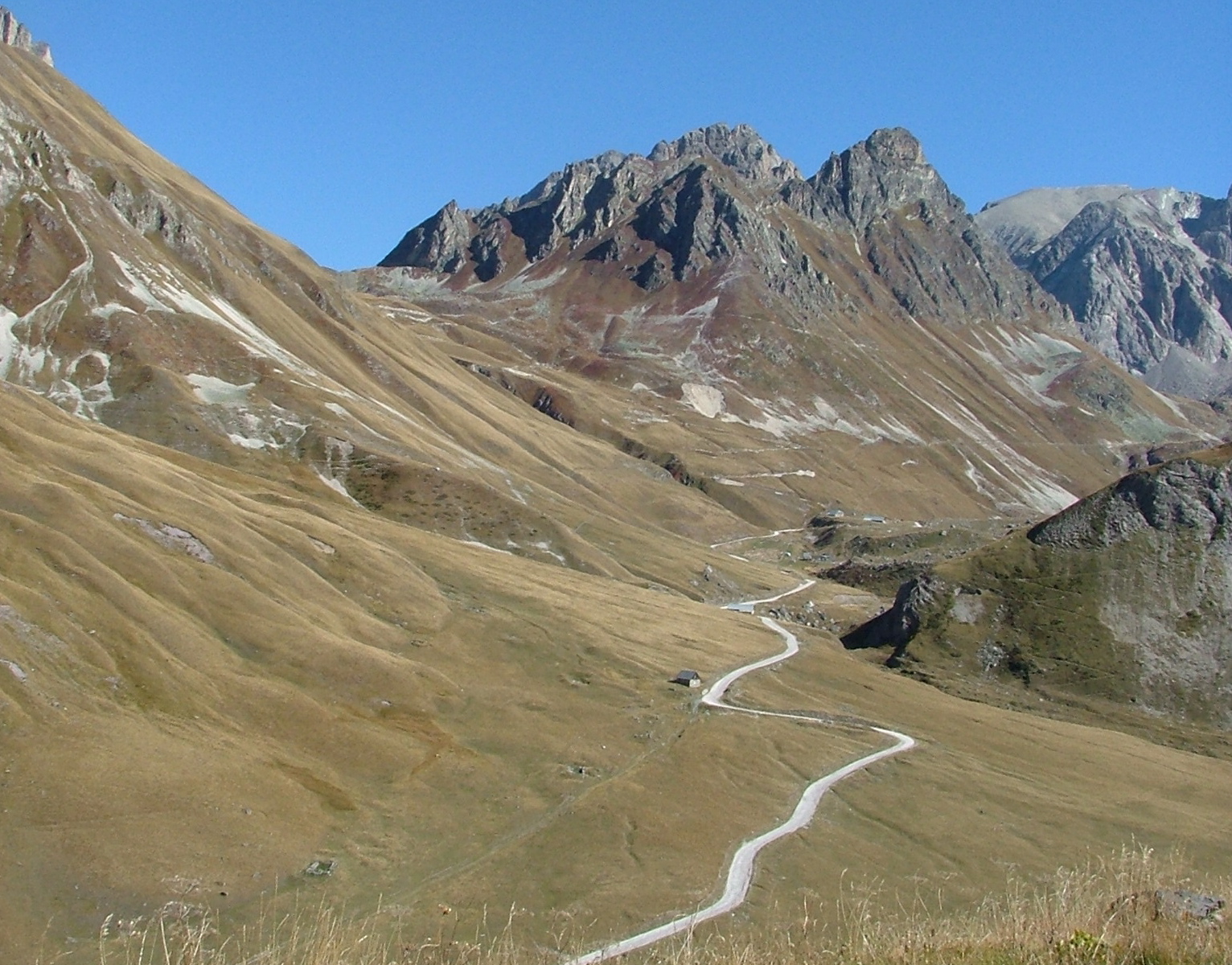
Here's the pass. Col de Sarenne, at 1999 m.
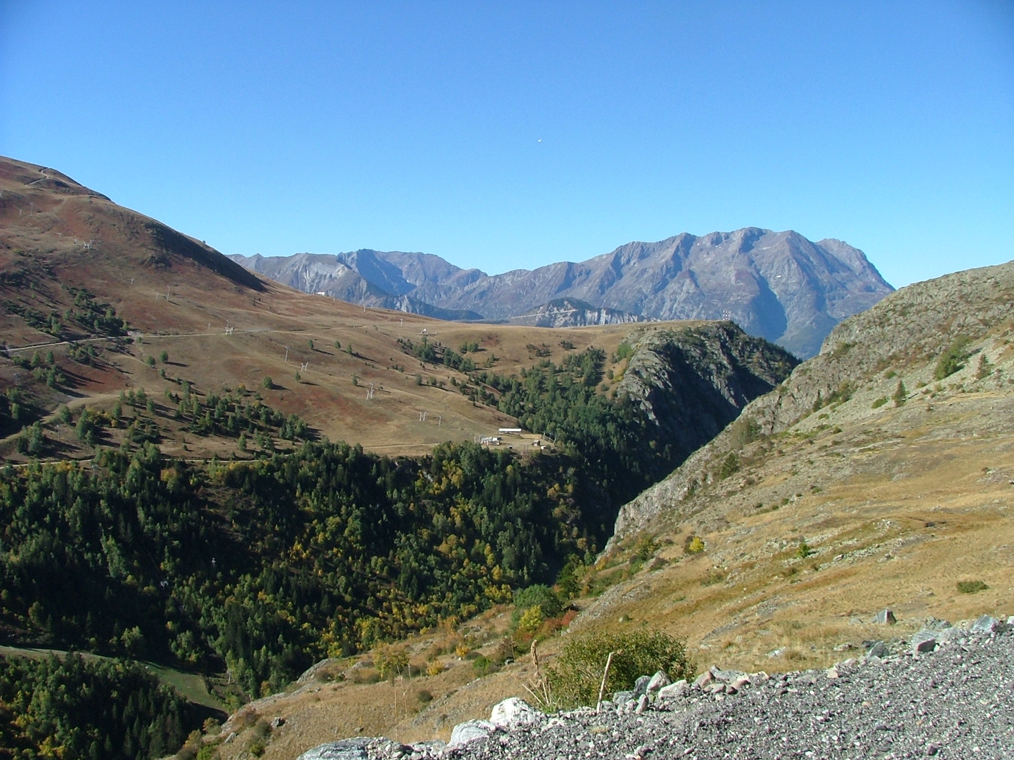
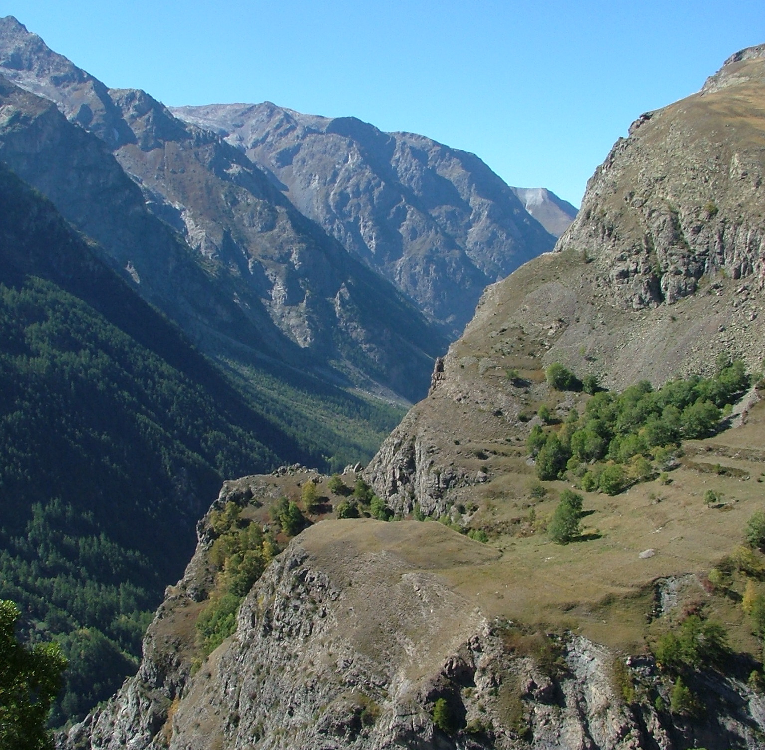
The view from the top.
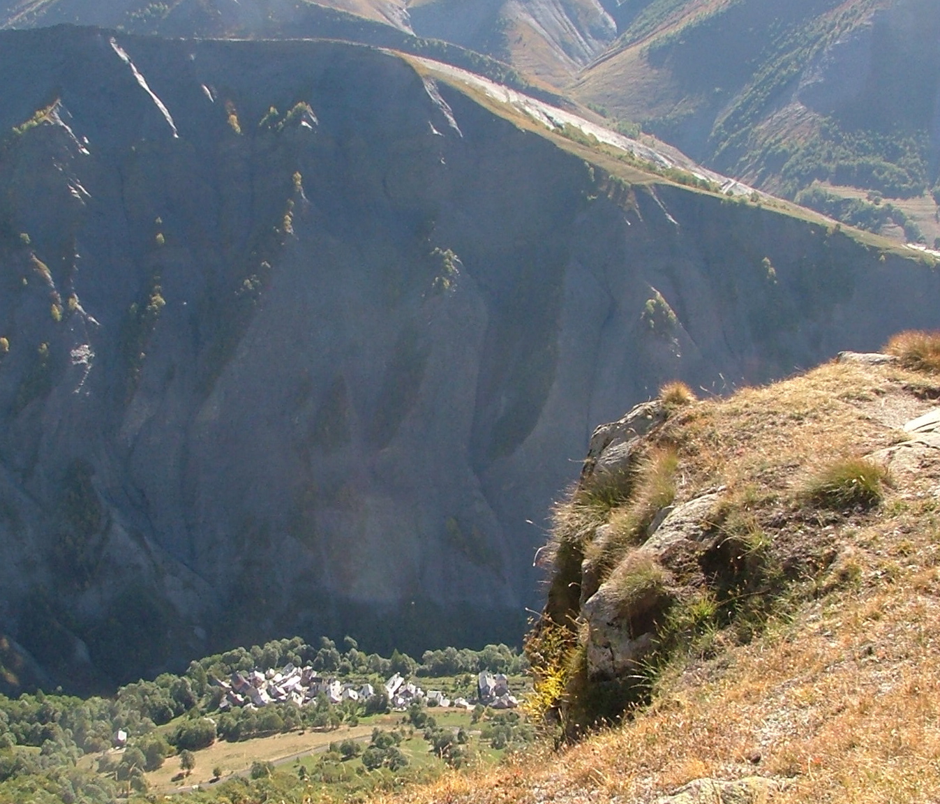
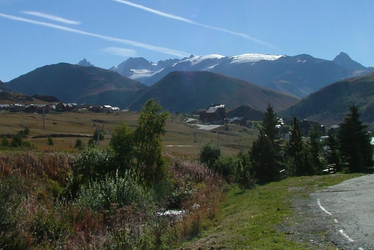
Looking down on the Alpine town of upper Clavans. Behind that ride
down the valley and up past Clavans is Besse, which we will visit later.
There's the road down. In that valley is a glacier-fed creek, plus some
waterfalls, which you will see soon.
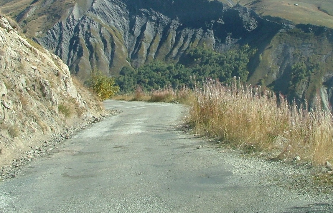
Here's were going 20 kpm would have been a stretch -- just past those
weeds to the right is quite a fall -- I'm guessing that the car would
stop rolling when it plows into the houses of upper Clavans.
I was amazed at that single farmhouse there -- talk about the middle
of nowhere.

More of the road. It didn't have a name.
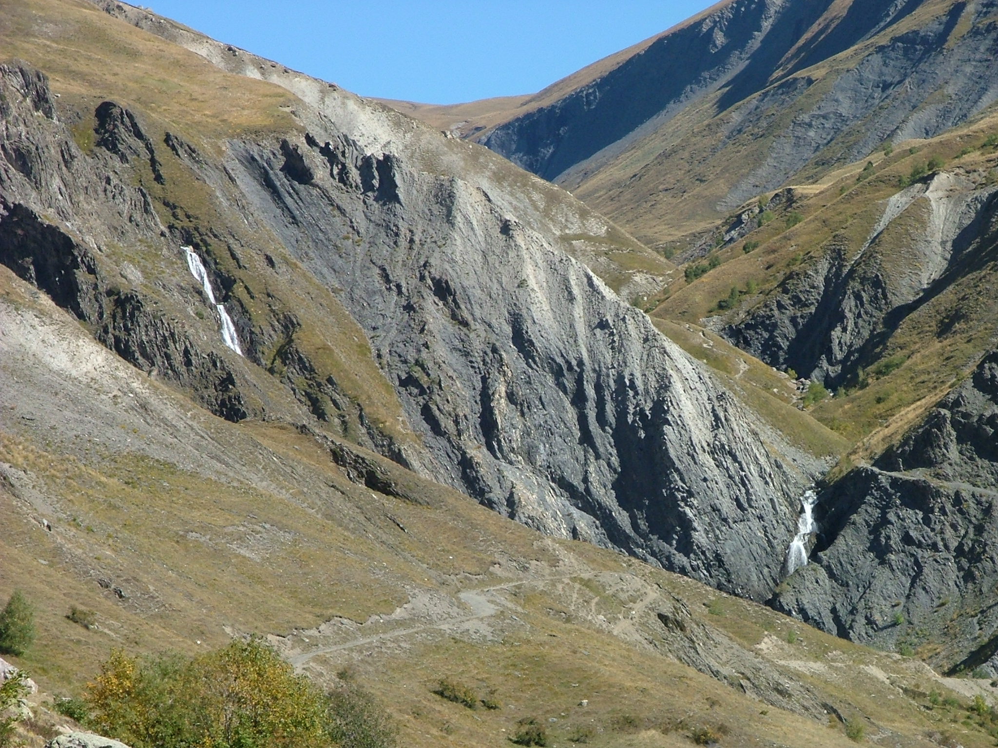
The two glacier-fed waterfalls.
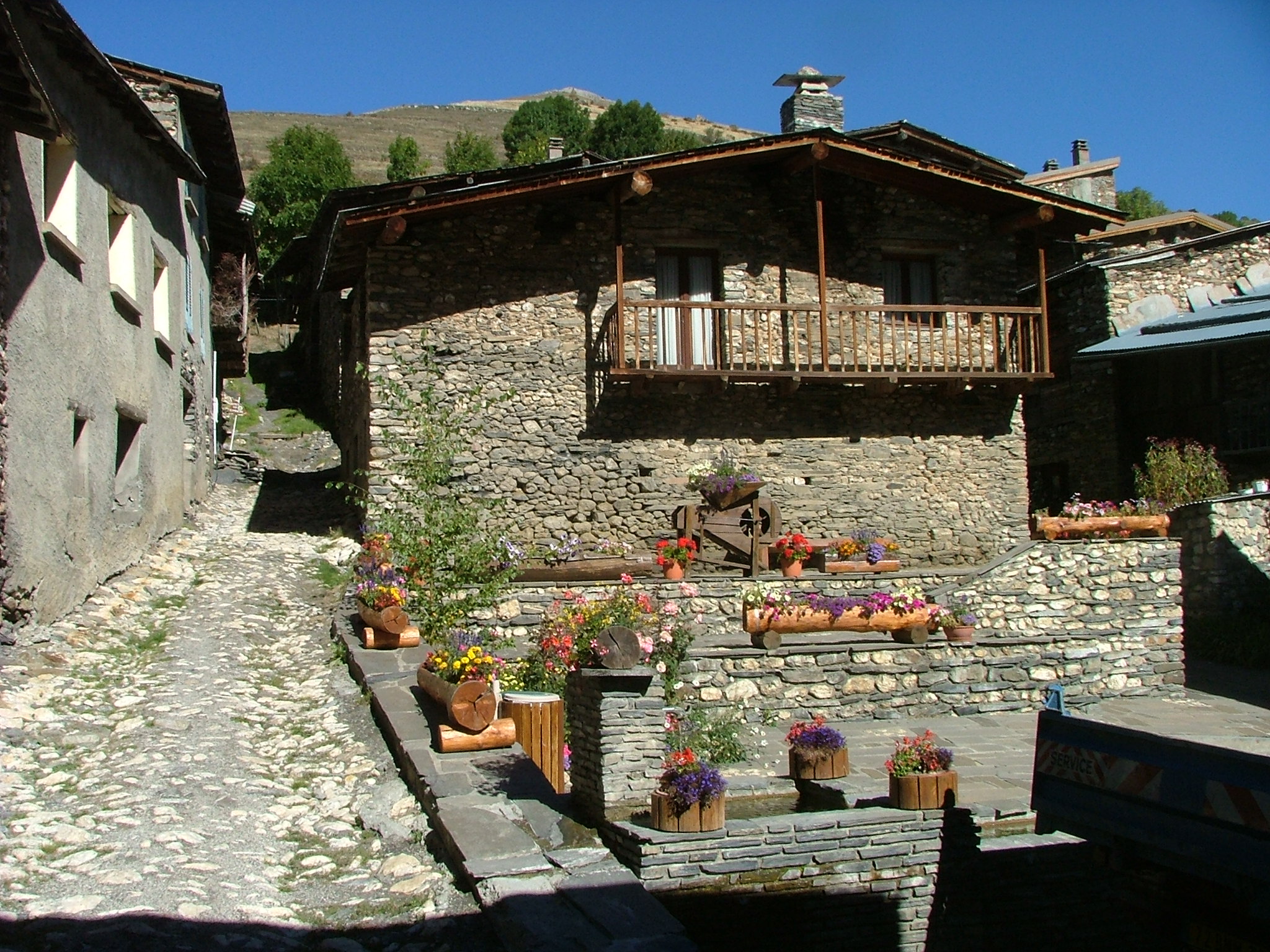
After descending past upper and lower Clavans, I turned and went back
up to the hamlet of Besse. I parked and walked, and the town was
very pretty, but nearly uninhabited. Here's a town shot.

Besse, taken from its far end.
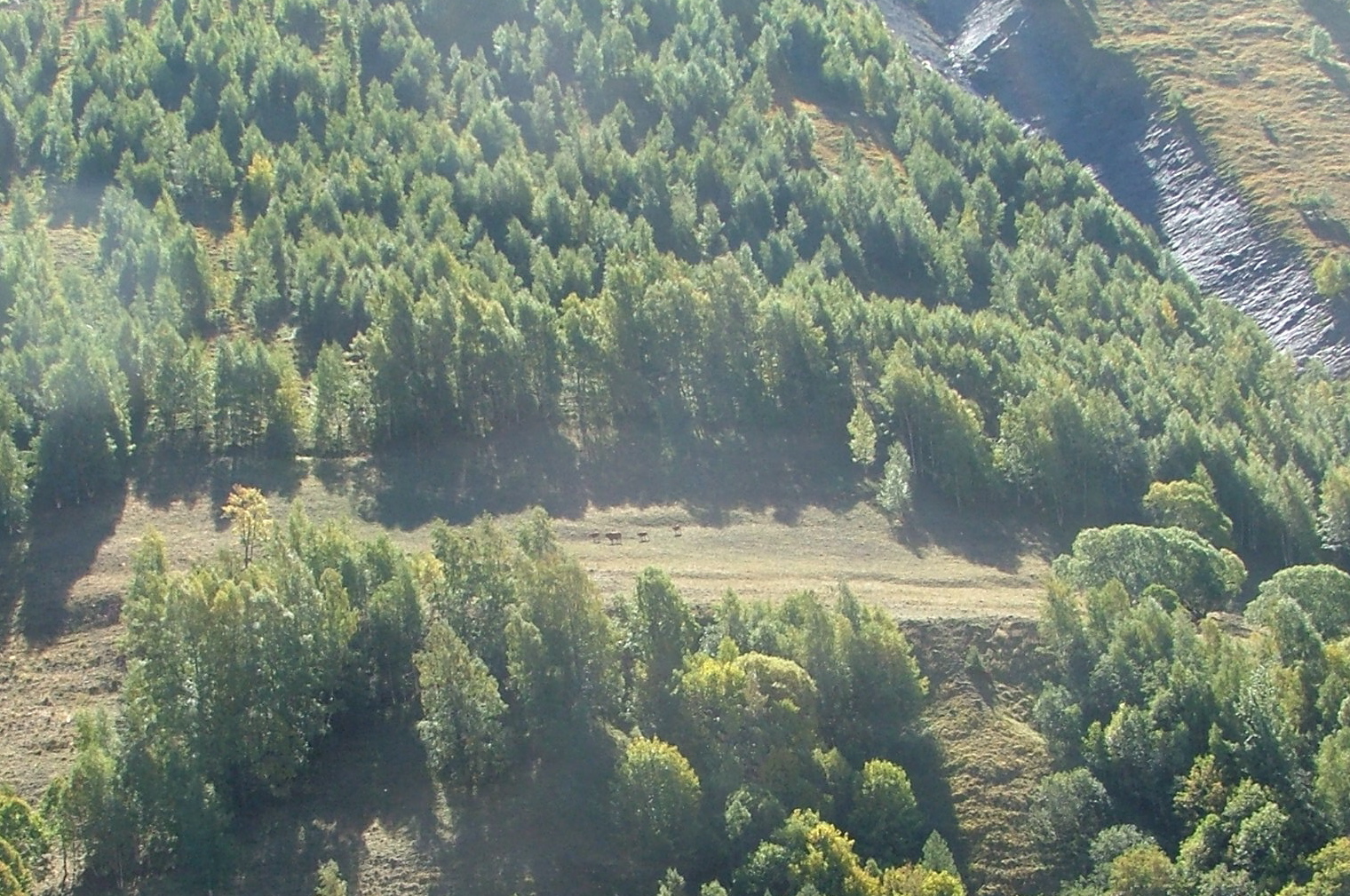
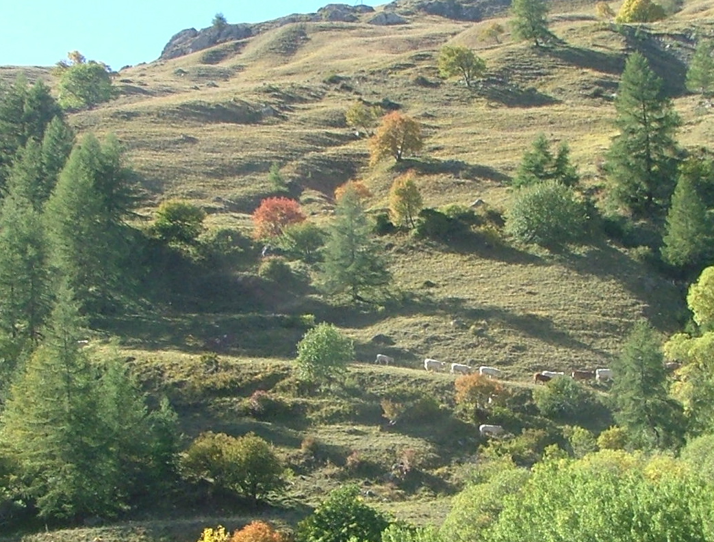
Les vaches across the valley. I believe wherever you see grass,
it's because of livestock.

As you cross the gorges back from Besse, you get a nice view of Clavans.
I started wondering if there were a Besse/Clavans football rivalry...

Descending through Mizoen, we get a nice view of some lake made from a
dam, with unnaturally blue water.

There's the dam. Very shortly, I'll be down on that road, cruising
the valley again.
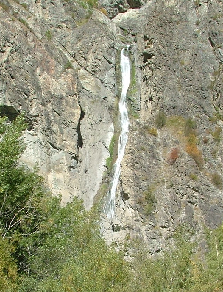
A waterfall in the valley.
Past "La Grave", and I headed up the mountain to a place that Terry
recommended, called "Oratoire de Chazalet." I don't think I made
it there, largely due to poor signage. I passed a few towns on the
road: Les Terasses and Le Chazelet, but I didn't find any signs to
the "Oratoires." I've stopped here, after going through Le Chazalet
to wait for the sheep to cross the road. I turned around.

The town of "Le Chazelet." Pretty, but actually kind of a dump.
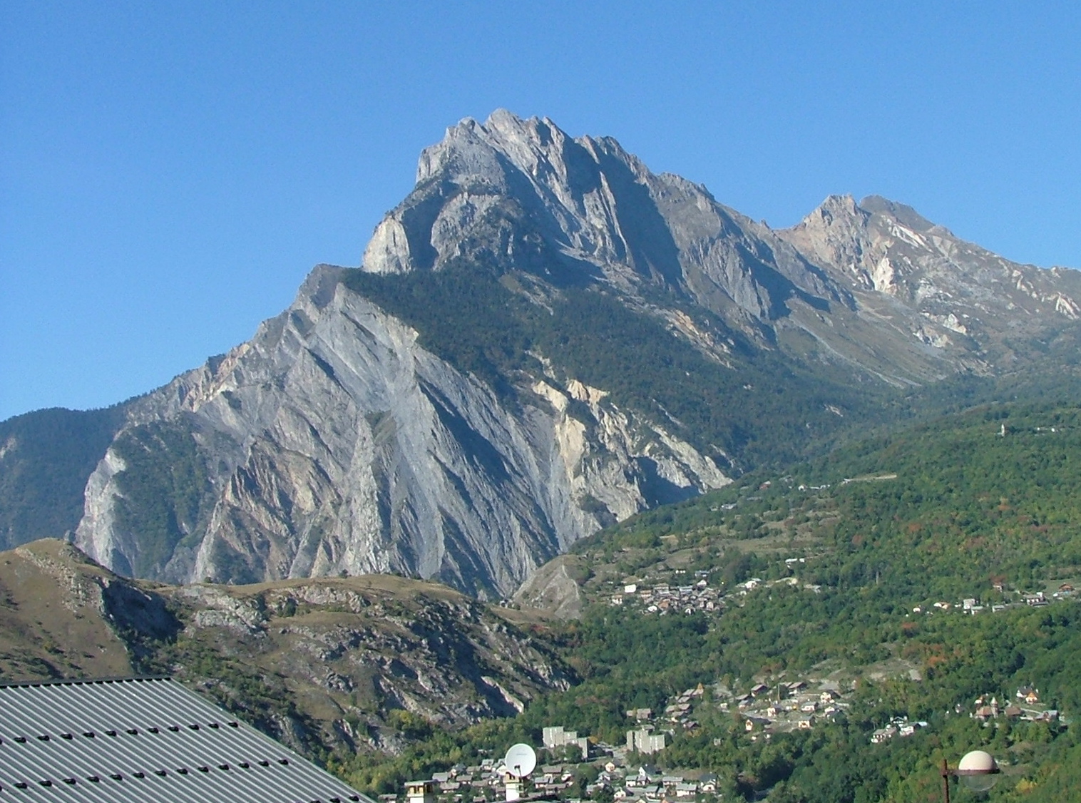
The view back toward the main valley road is spectacular, and
dominated by a famous mountain called "La Meije", with two
huge glaciers that look like they are pouring down from the
mountain, with big boulders in tow. There's the left glacier.
This is pretty much the vibe of "Le Chazelet" -- Dirt and livestock.
It smelled that way too. No people.
La Meije through the town -- you can see the access road winding
around the mountain.
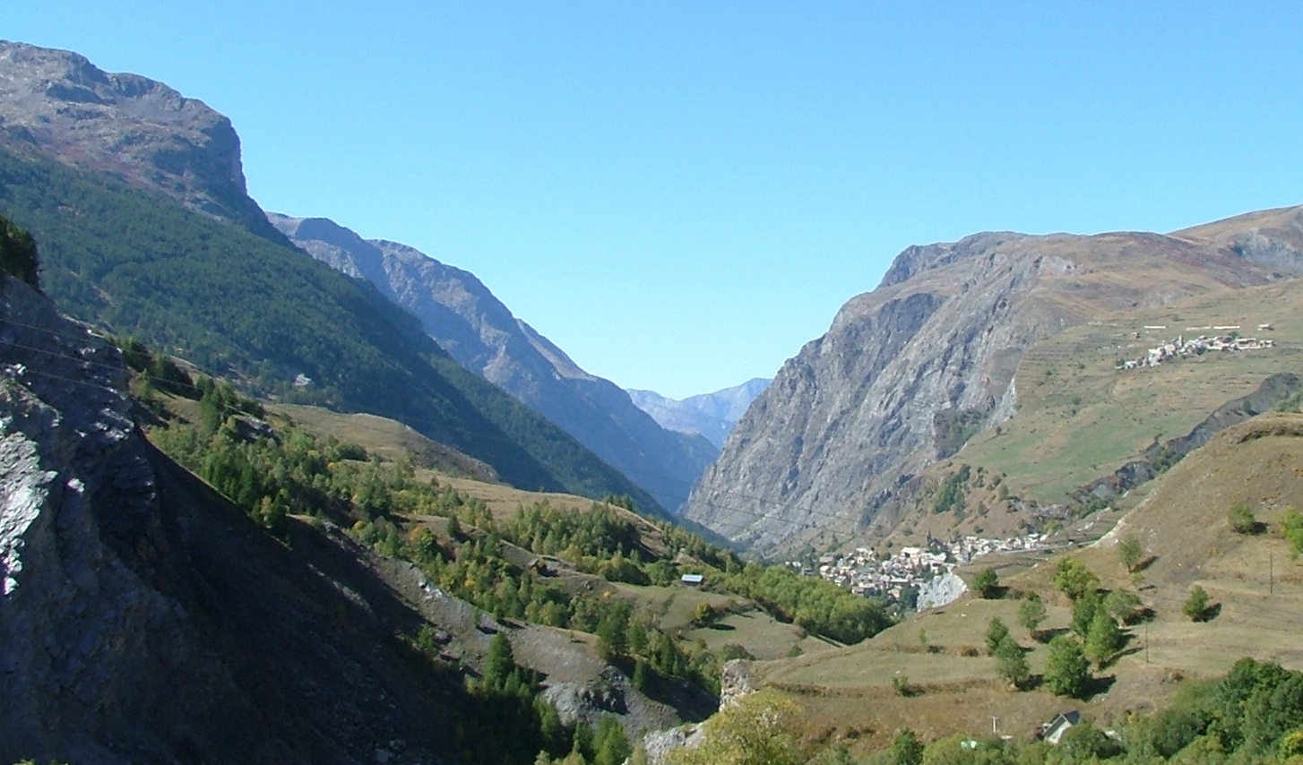
Another view from Le Chazelet -- this one looking down the valley that
I drove up.
The view up the valley through which I will be driving (you can see
the road winding up the hill toward the "Col du Lautaret".) A sign
said that the reason everything is grassy is that people run cows and
sheep wherever they can.
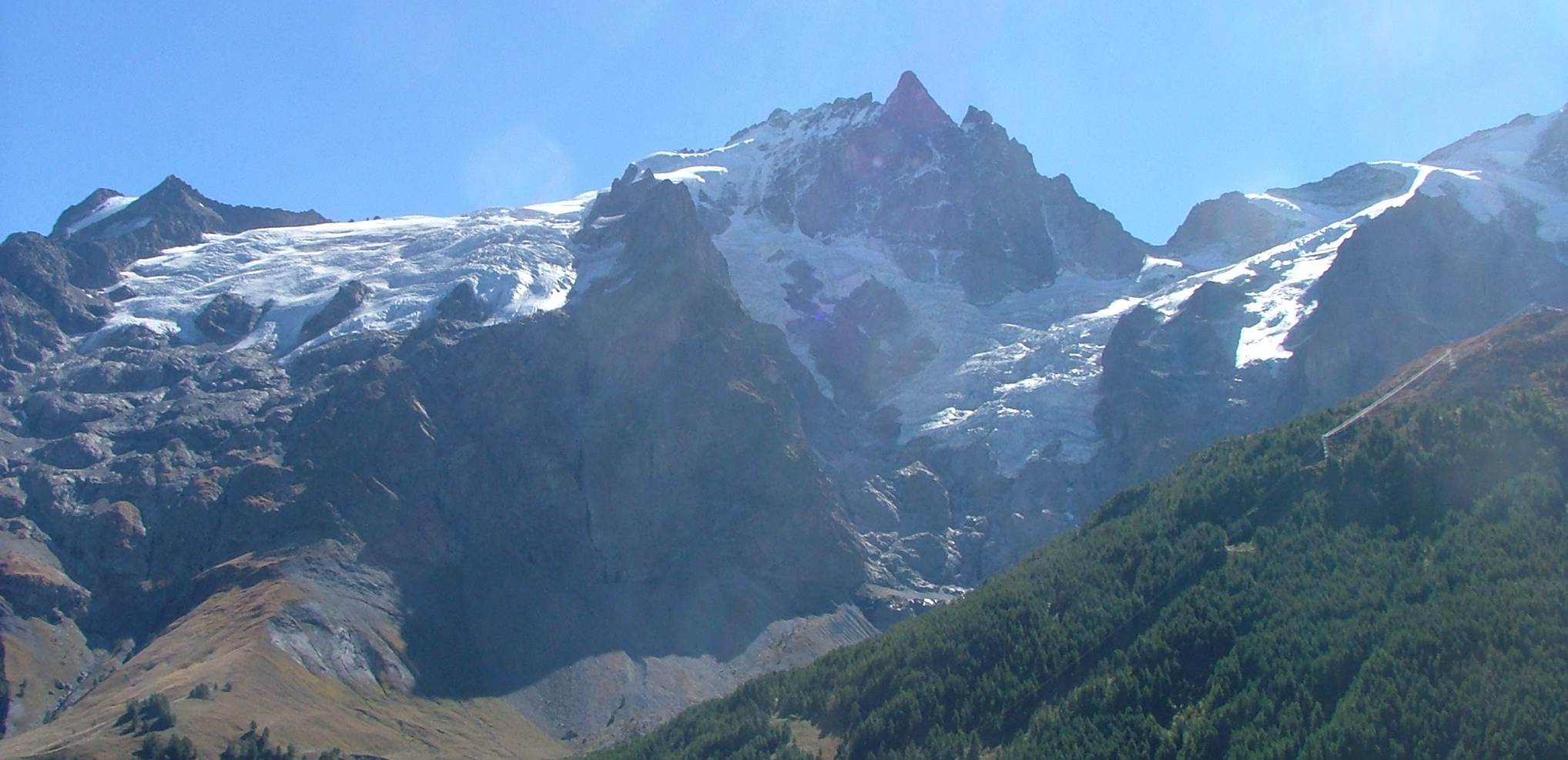
A final shot of La Meije -- both glaciers this time.
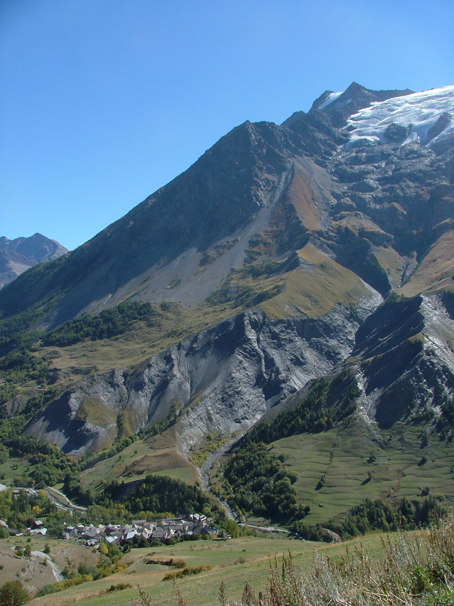
Looking down to the ski town of La Grave, right beneath Le Meije.
That's where I came up, and where I'll be going back down to continue
up the valley.
Further up the valley toward the Col du Lautaret, looking back toward
La Grave (in the valley), and Le Chazelet (up on the right slopes).
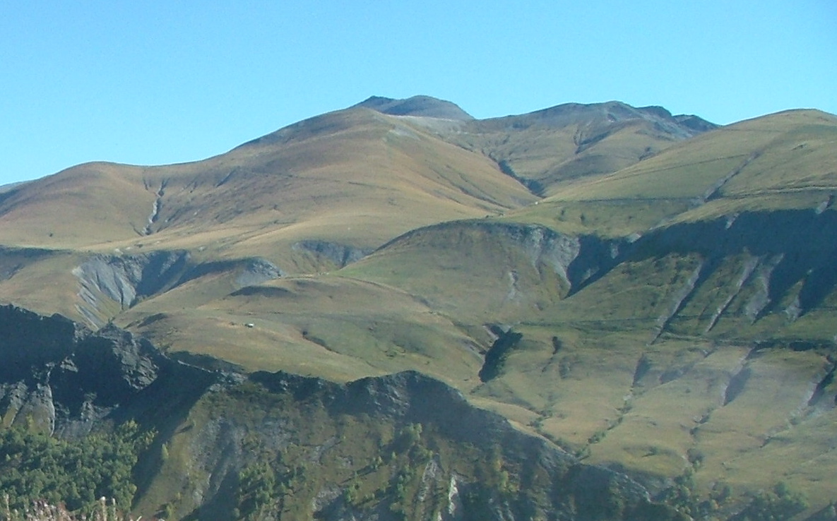
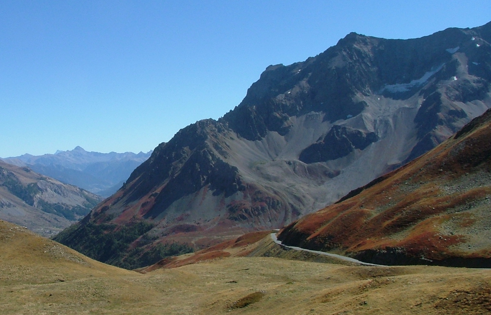
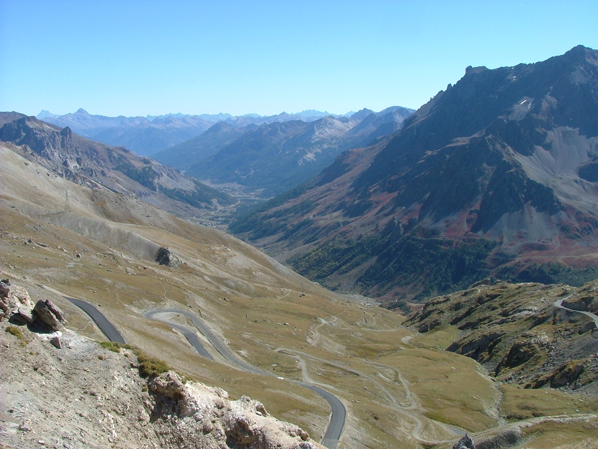
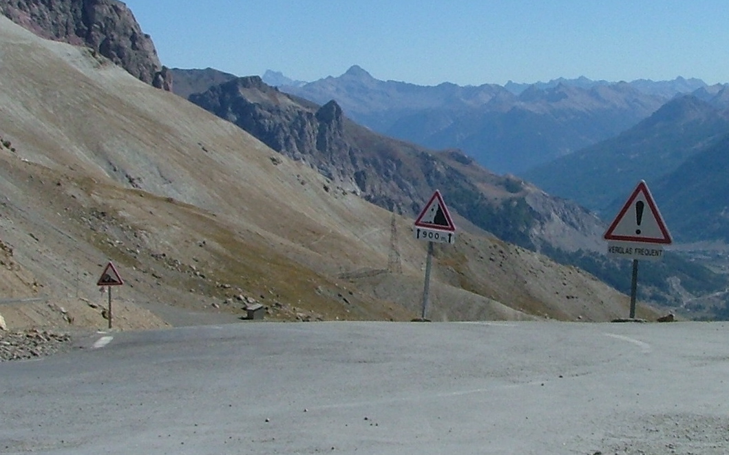
Once at the Col du Lautaret, I took a left and headed up to the highest
pass of the day -- the Col du Galabier, at 2645 meters. This is another
frequent Tour de France route, although they didn't take it
last year. Again, steep drops off the right-hand side, and no guard-rails,
but at least the road is much wider than the Col du Sarenne.
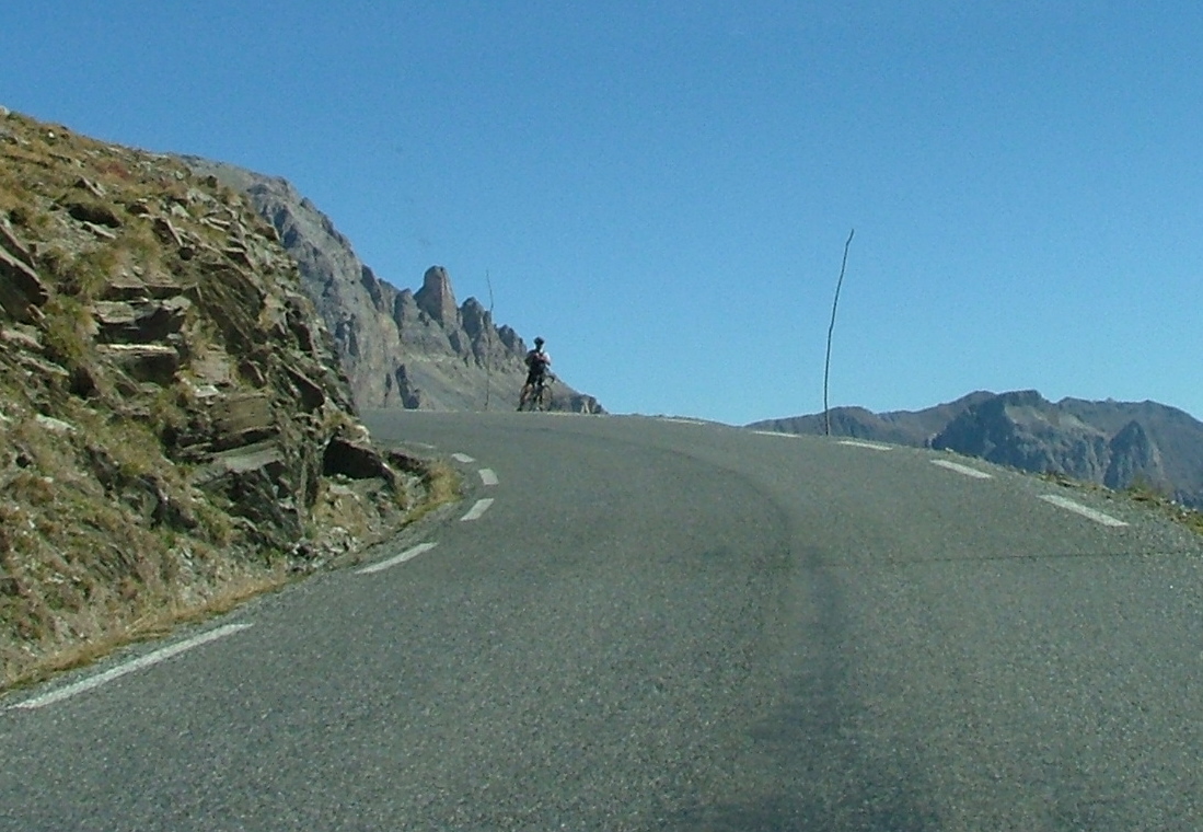
There's an insane man -- he did make it to the top while I was there.
There's a view down to the Col du Lautaret (lower left). I like the
rust-colored hill -- that's probably from whence I took the previous picture.
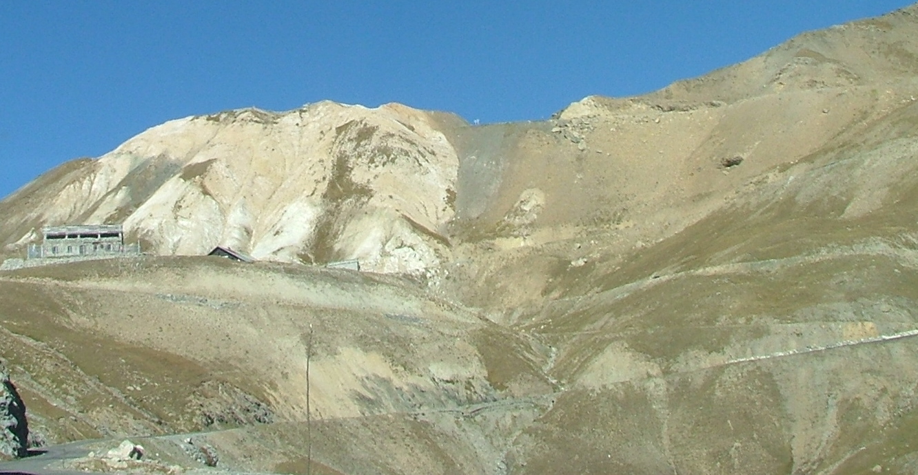
Way up there at the top of the slope is the Col du Galabier. The roof you
see there is a souvenir store where I stopped and purchased gifts for the
brood at home. I was told it's not open in the winter...

I have reached the top! You can see all those stickers from
Tour de France fans.
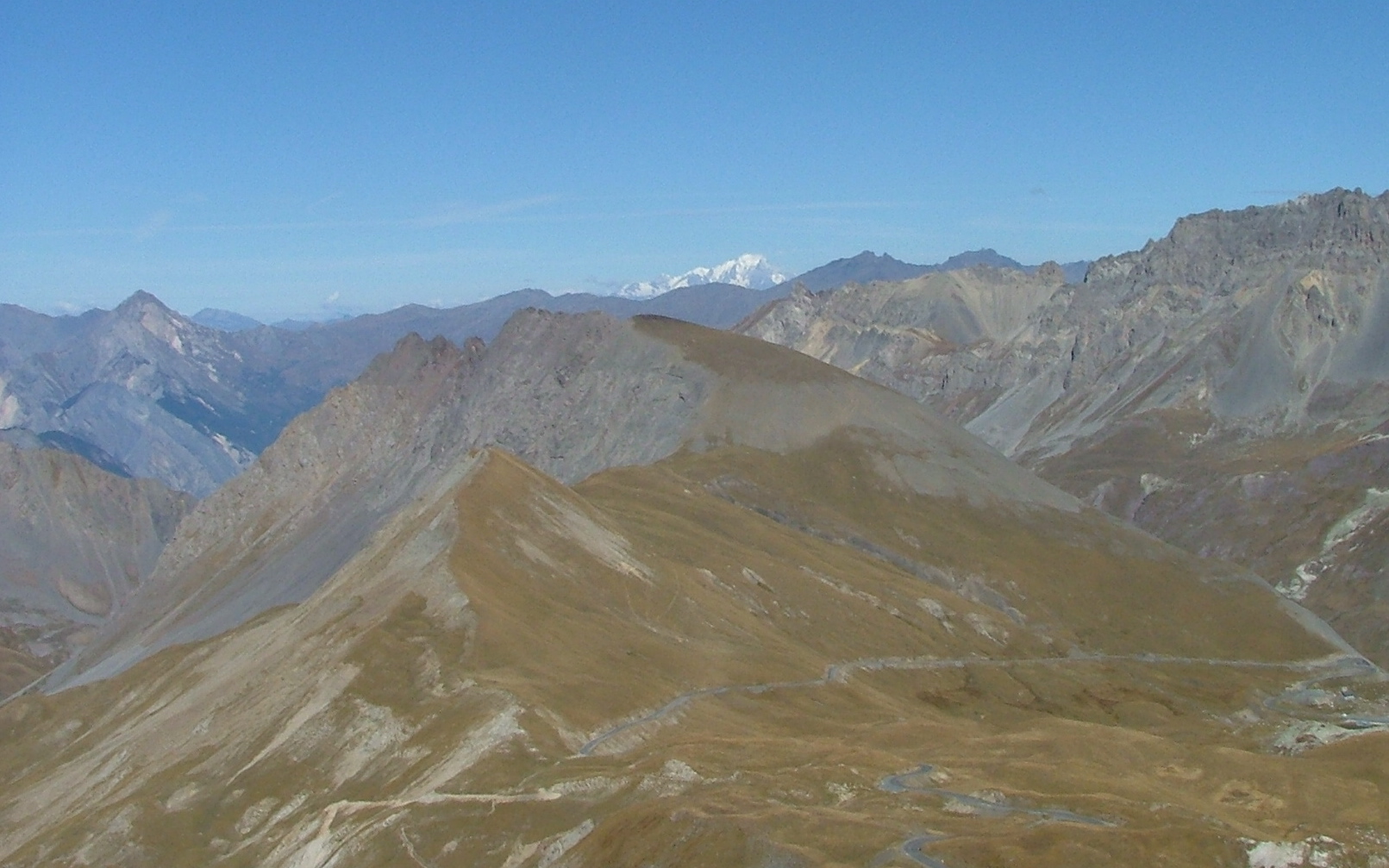
After a little walk, you reach a "viewing table", which is up over
2700 meters. In the foreground, there's the road I'll be taking
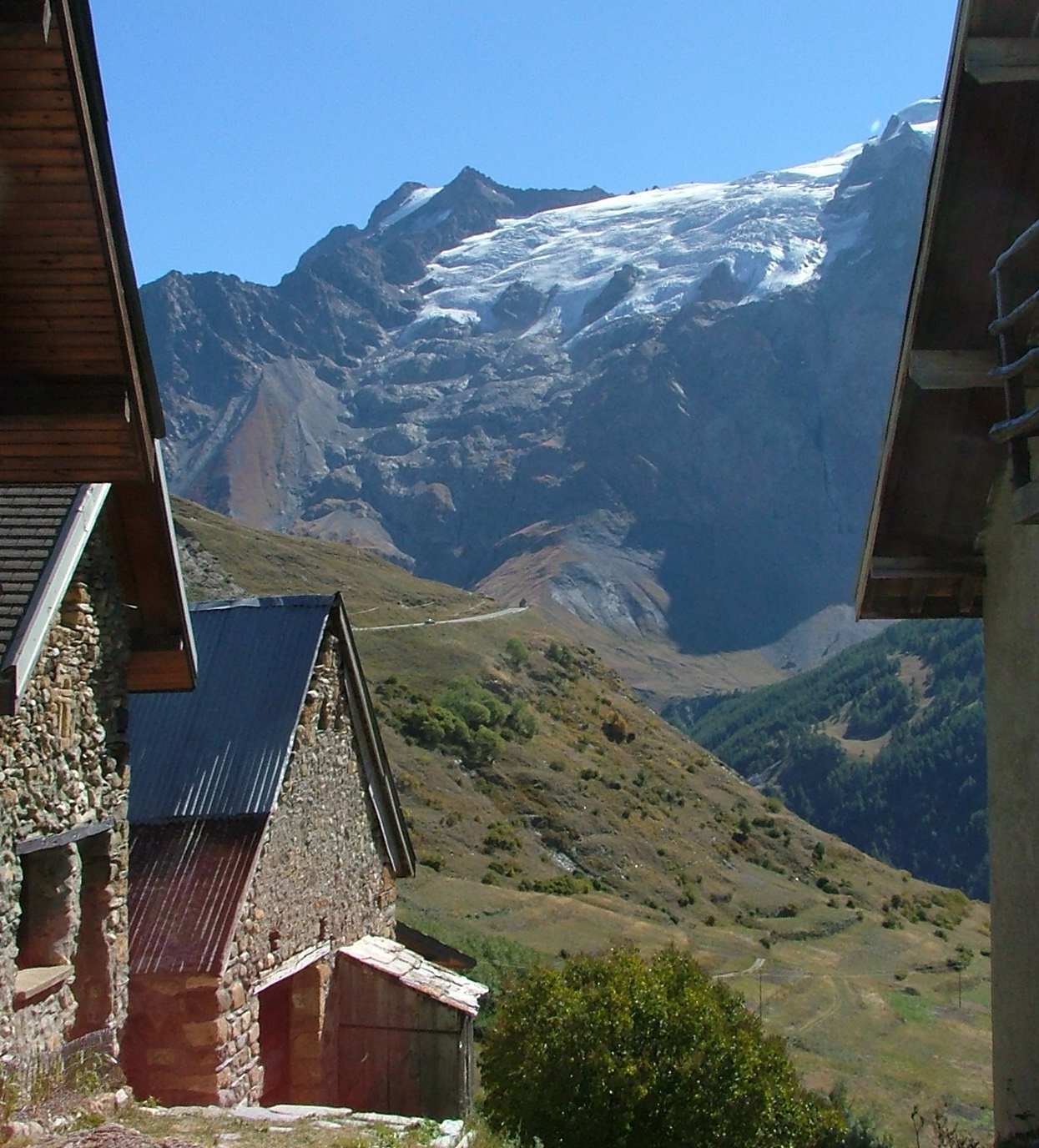
down. Way in the background, you can see the majestic, snow-covered
Mt. Blanc.
There's the view back to the glaciers south of the valley of La
Grave, etc.
There's a nice view of the road that I took up. In the distance
is Briancon, which is the main metropolis of the area. I didn't
go there.
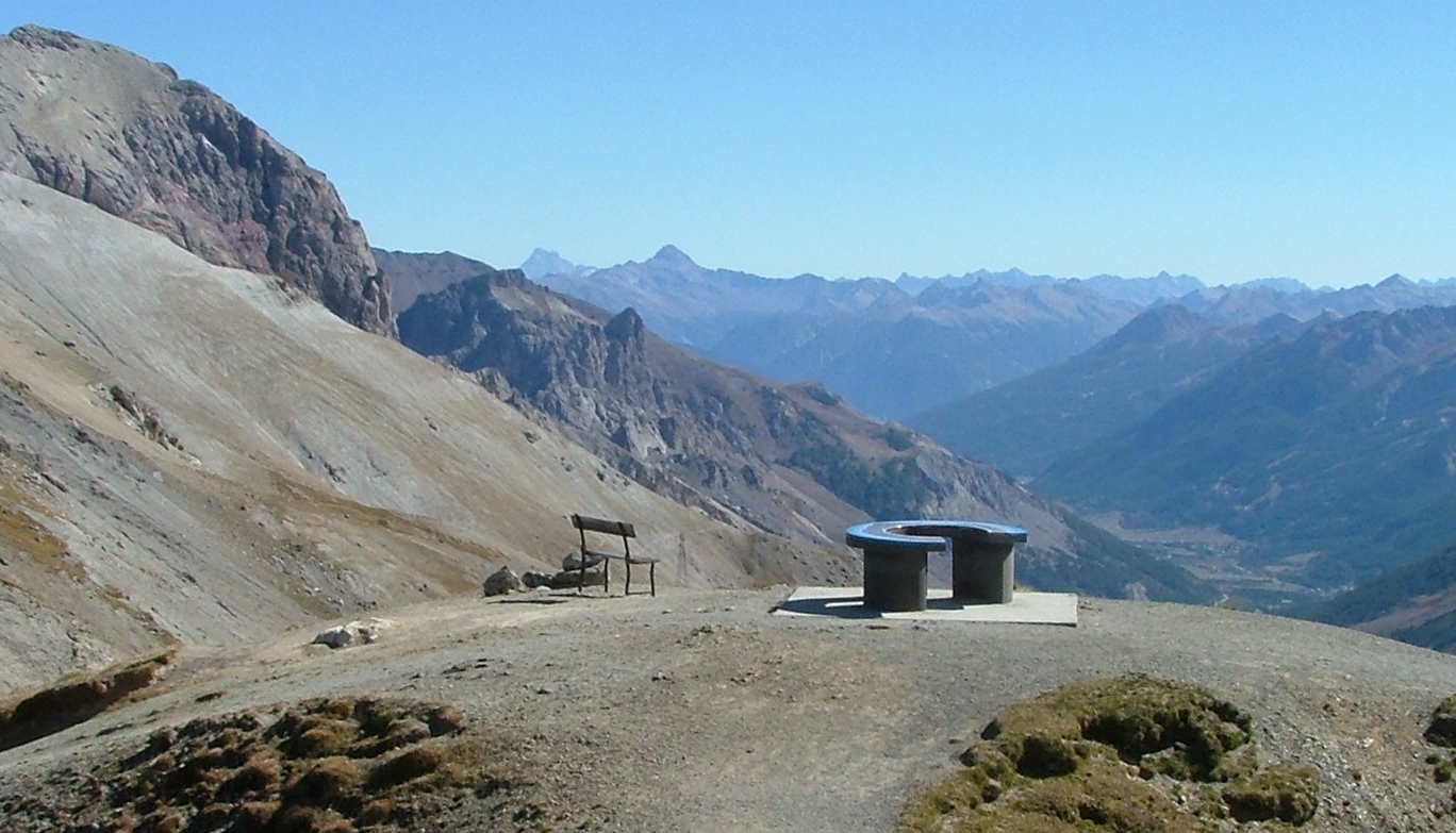
There's the "viewing table" and chair. It's nice because it points out
every peak that you can see.
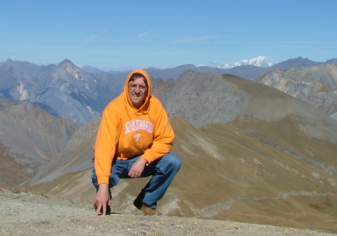
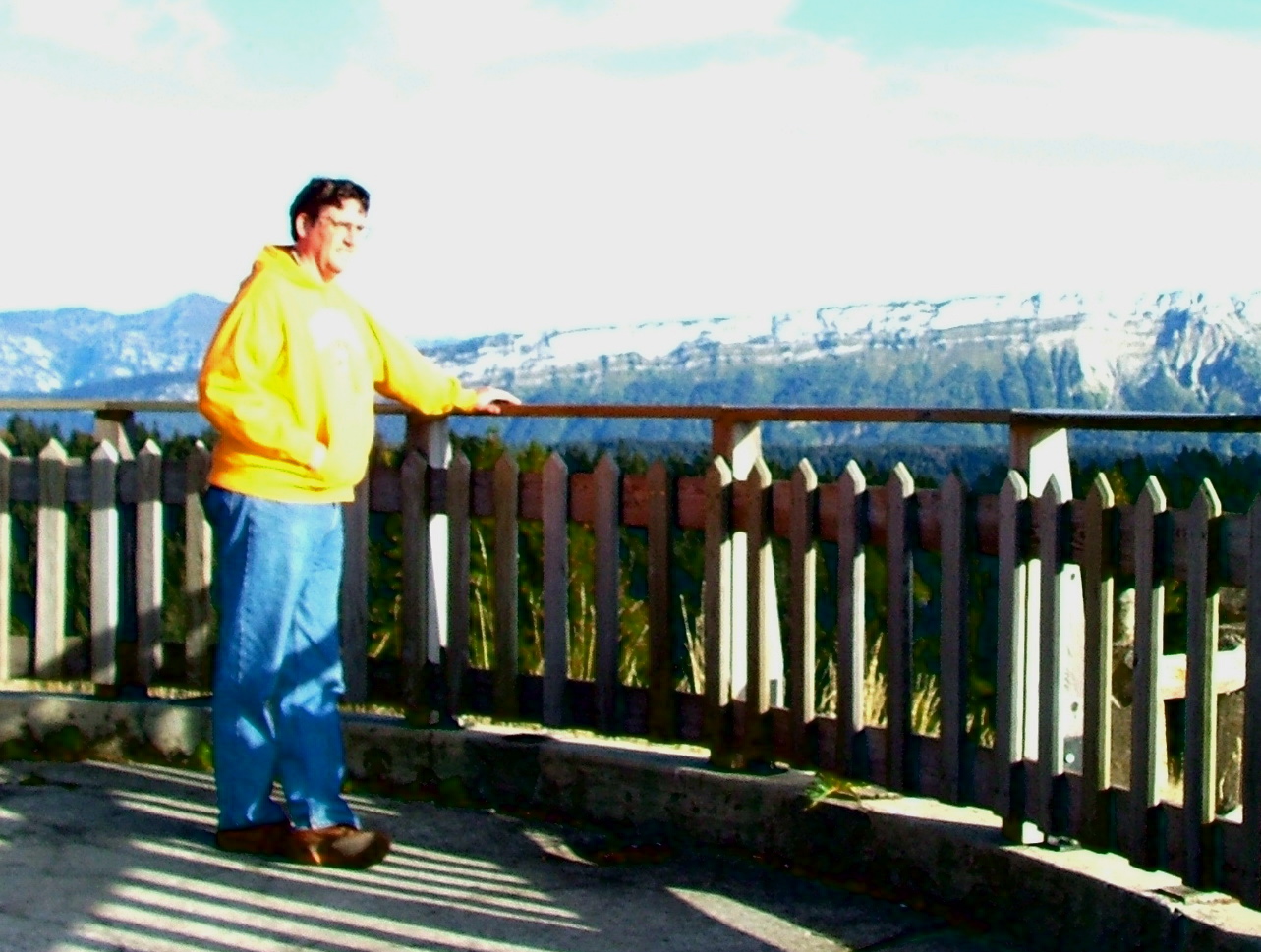
A time release of Thor with Mt. Blanc in the distance. You know, when
I was wearing that sweatshirt, everyone assumed that I was American.
I wonder why?
The signage going down (that was actually how I came up, not down).
They don't recommend going too fast...
There's my lonely road down from the Col du Galabier.
Here's one of the mountains on the way down -- interesting in that it
looks like a rubble sand dune for most of the mountain. I'm sure
Terry can tell me why.
More vaches on the mountain.
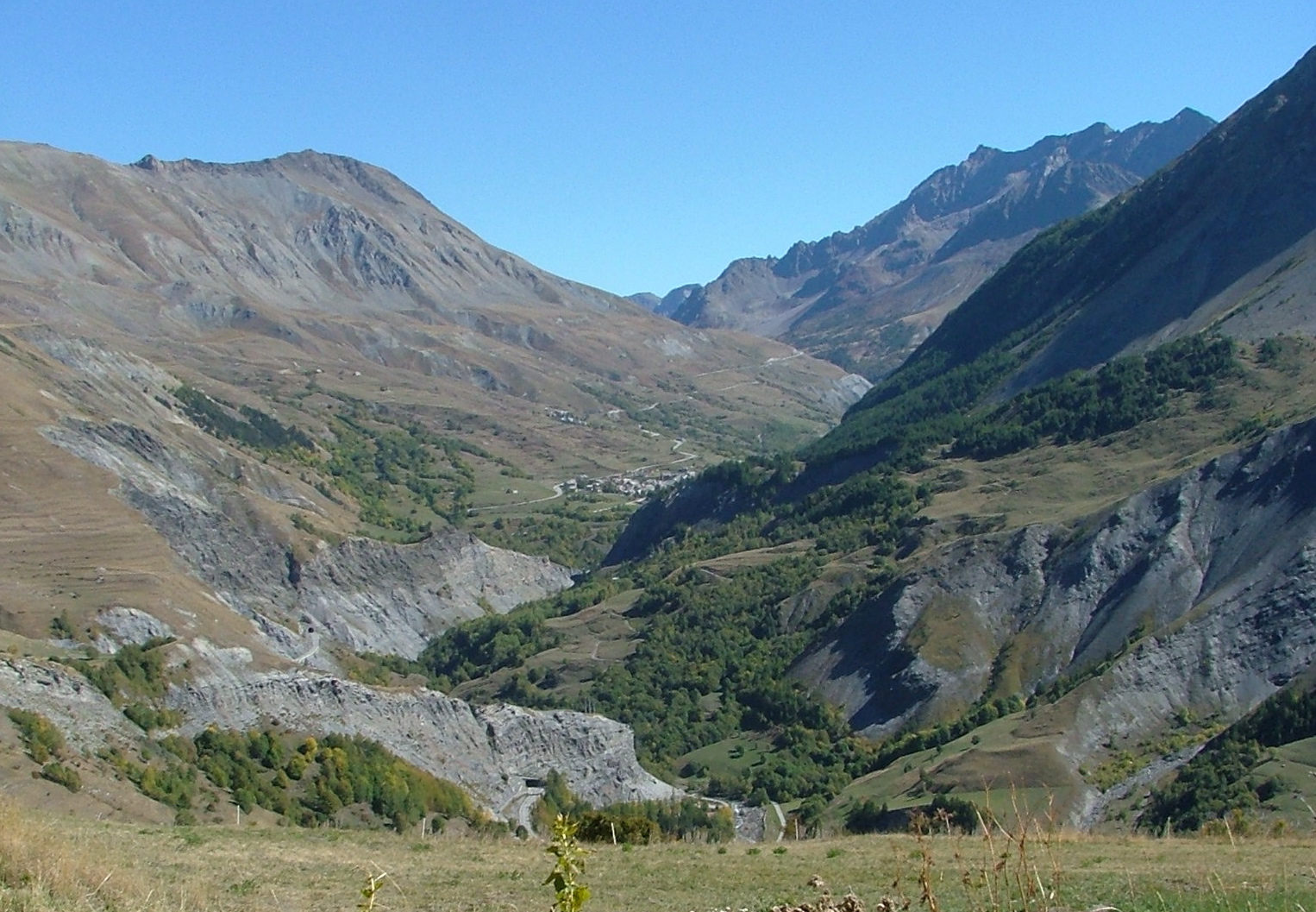
So, I've gone way down from the Col du Galabier, through the
ski village of Valloire, and down to the Col du Telegraphe at
1566 meters. And then around the corner, and boom -- I still have
a ways to go.
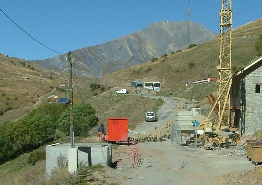
Now I'm through St. Michel, where I grabbed a baguette, some
sliced chorizo, and some Tonne de Savioe for dinner in the
car. There's the peak that dominates
the town - Croix des tetes maybe? I'm not really sure.
Back on the superhighway up north and west towards Chambery.
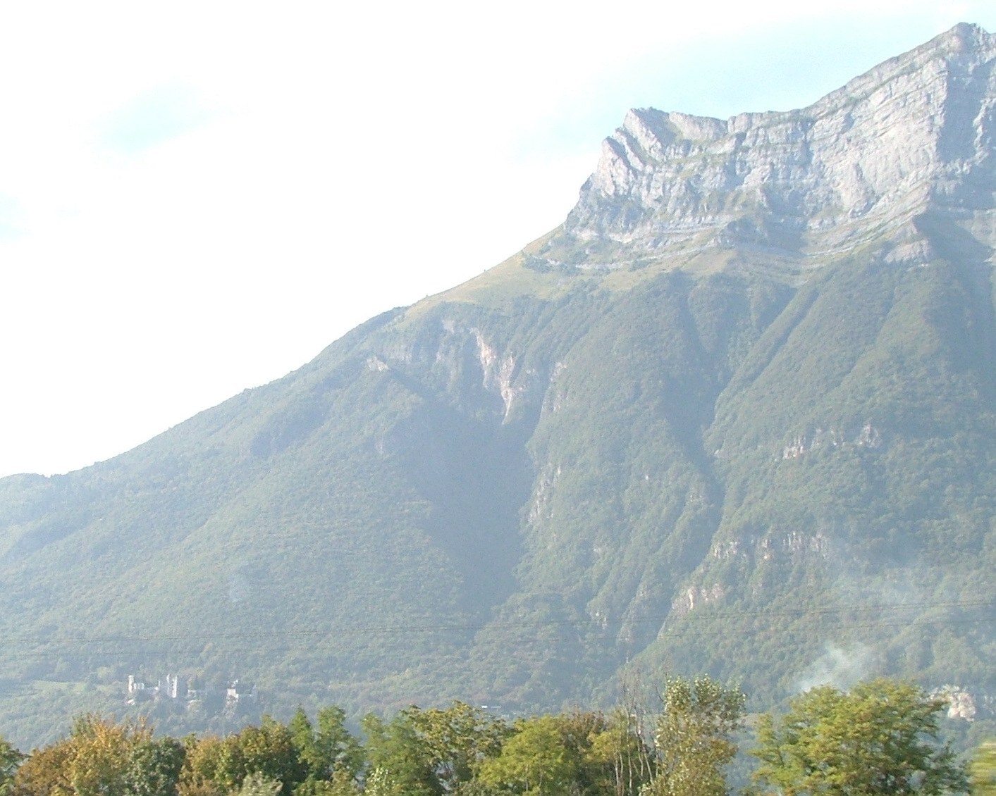
This is the Dent d'Arclusaz, I think. Note the castle in the
lower left-hand corner. There were a lot of castles in this area.
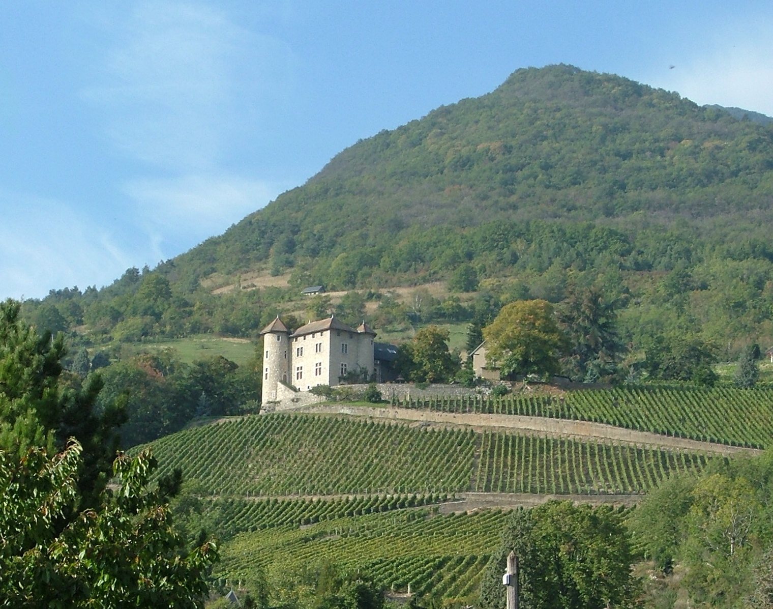
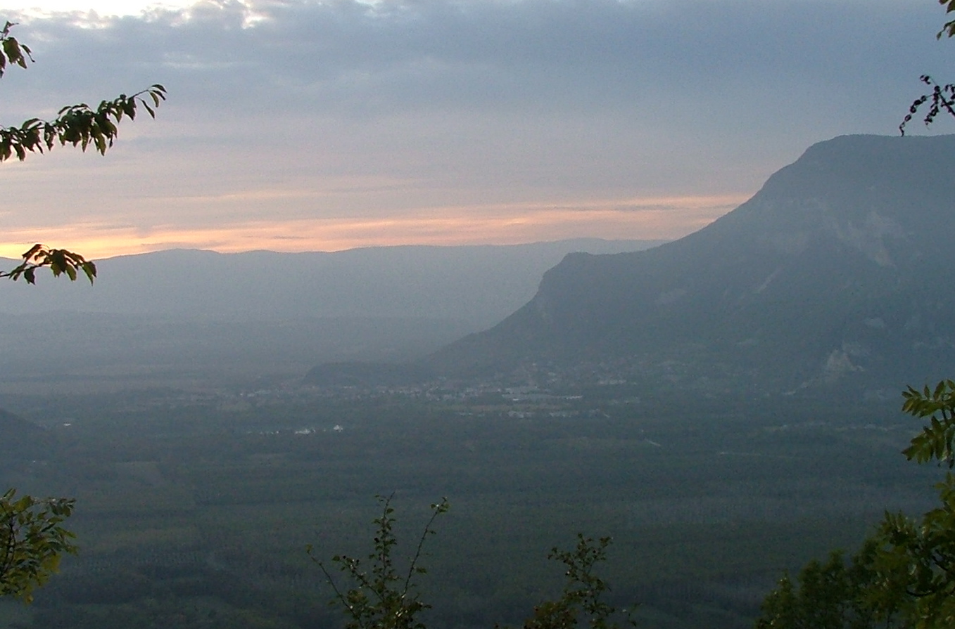
Here's another, nearer to Chambery.
Once near Chambery, I veered north to hit another mountain pass.
Here's the view back from whence I came.

This side trip was a good one -- to Mt. Revard, which is another ski
area.
Right on top they have a restaurant/bar/viewing area,
which you can see here.
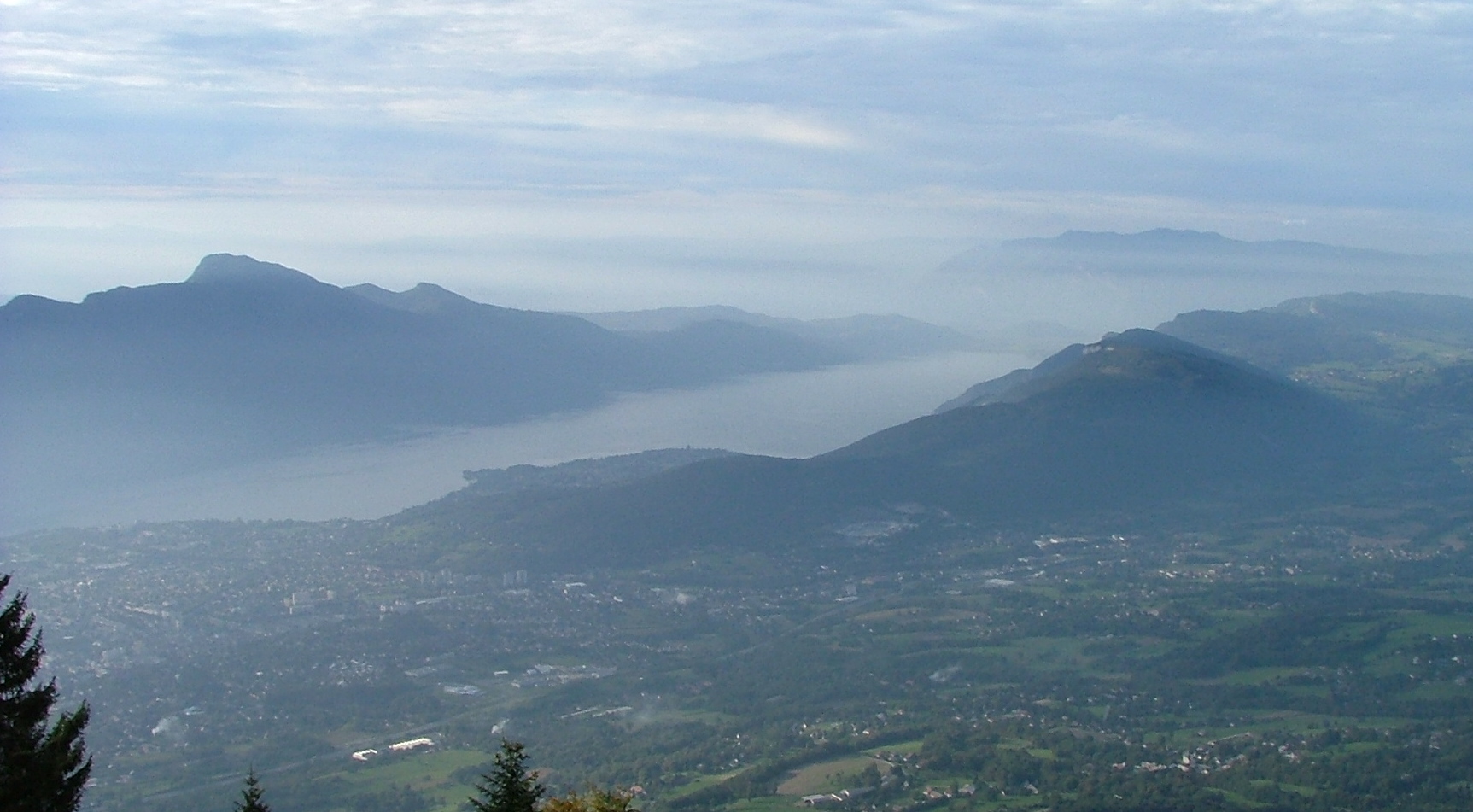
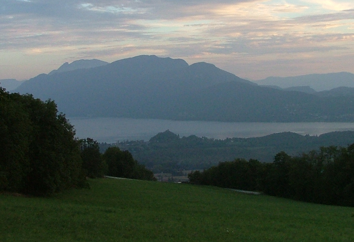
The view is spectacular, from 1537 meters
-- down to the city of Aix les Bains on
shores of Lac du Bourget. Remember that bump there on the
near shore, toward the right of the picture, because that's where we're
going next.
Maybe this is a better picture -- the bump is now in the foreground.
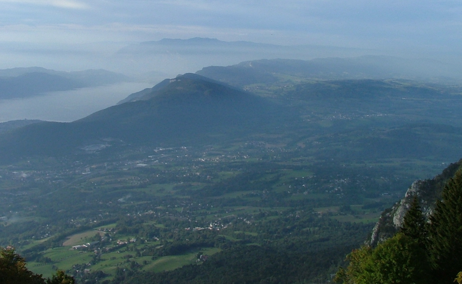
The view back is less hazy -- there's Mt. Blanc, I believe, or a mountain
near it.
A view down towards Chambery, and the high Alps south of it.
Here's an over-exposed time-release of me at the Mr. Revard bar.
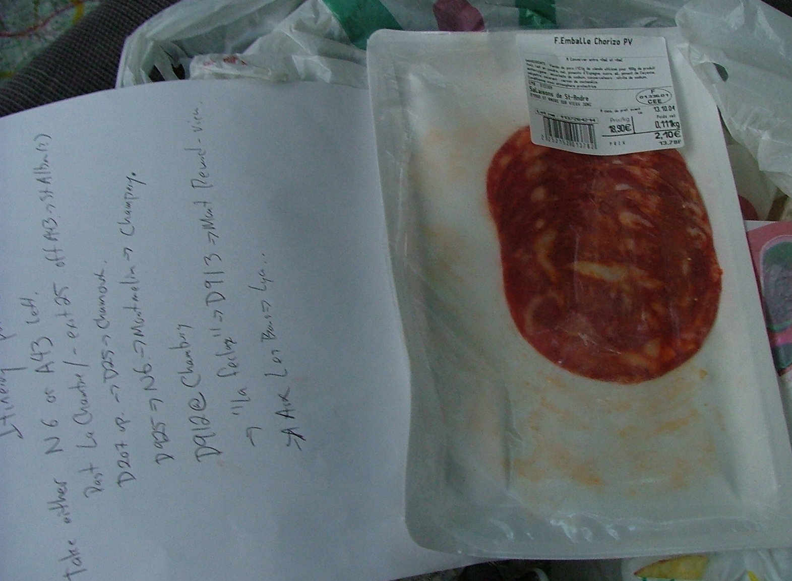
The Chorizo was so good, I had to take a picture. Really spicy. You can
see my itinerary made the previous evening. I was actually at the end
of it here, and it was getting past 6:30. I had been driving for
11 hours, and had to decide whether to cut through Chambery back to Lyon
or whether to go for another mountain pass. I decided I wasn't tired, so
I inhaled another slice of Chorizo and
down I went toward that bump on the shores of Lac du Bourget.

The road was to a little town called Cessens, and a pass down to
the lake called Col du Sapaney. Only 897 meters, but as you can see,
looking back toward the ridge of Mt. Revard, it still feels pretty
high. In the 30-40 minutes of driving along this road, I met
no one. No one. No cars, no people, nothing. Glad my little
Peugot didn't break down...

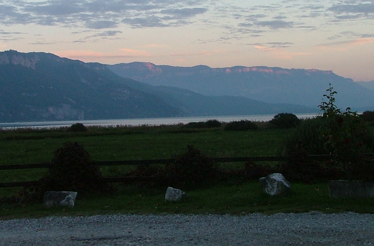
The view down to the lake. Again, very pretty. I'm glad I made
the detour.
Going down, looking north to Mt. Clergeon, I believe.
Another lake view.
As you can see, the sun is setting on the ridge behind the lake. I
didn't realize that that would be the first of many sunsets I'd get
to see on the drive. I'm still descending...
Finally, I'm down and across the lake -- there's Mt. Revard, reflecting
the setting sun.
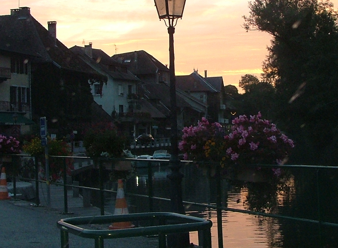
The ridge on the west side of the lake ends, and there's a canal that
skirts around it, eventually dumping into the Rhone. This is the
very pretty canal town of Chanaz. As with most of the other towns
I saw -- no people at all. I'm guessing France closes down in
late September. No matter, since I'm trying to get back to Lyon
before it's too dark.
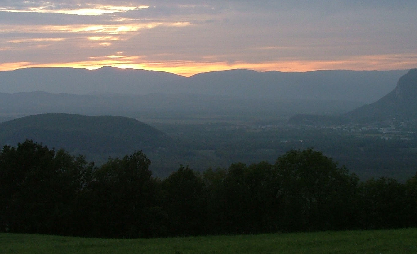
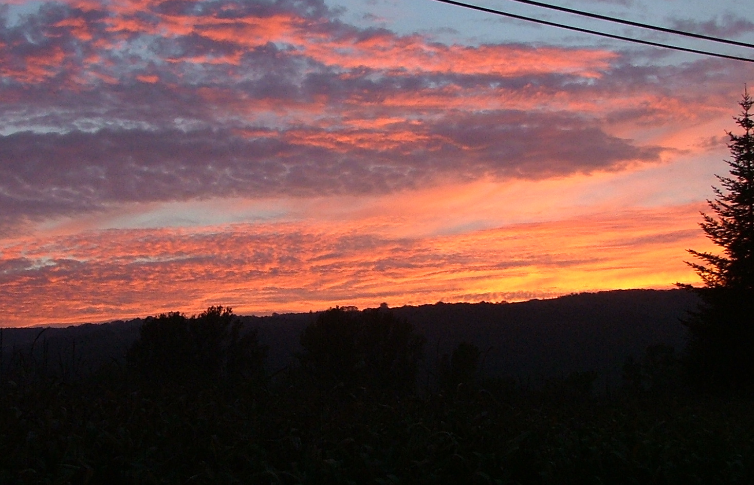
And here's a treat -- sunset #2. Since I'm past the larger ridge
which had the sunset east of Lac du Bourget, I get another sunset on
the ridges west of the Rhone.
Sunset over the Rhone.
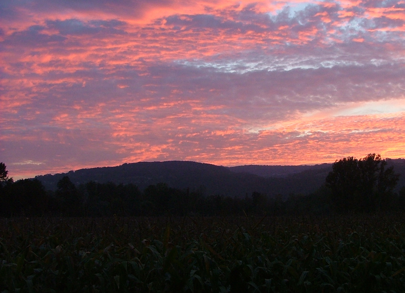
More sunset.
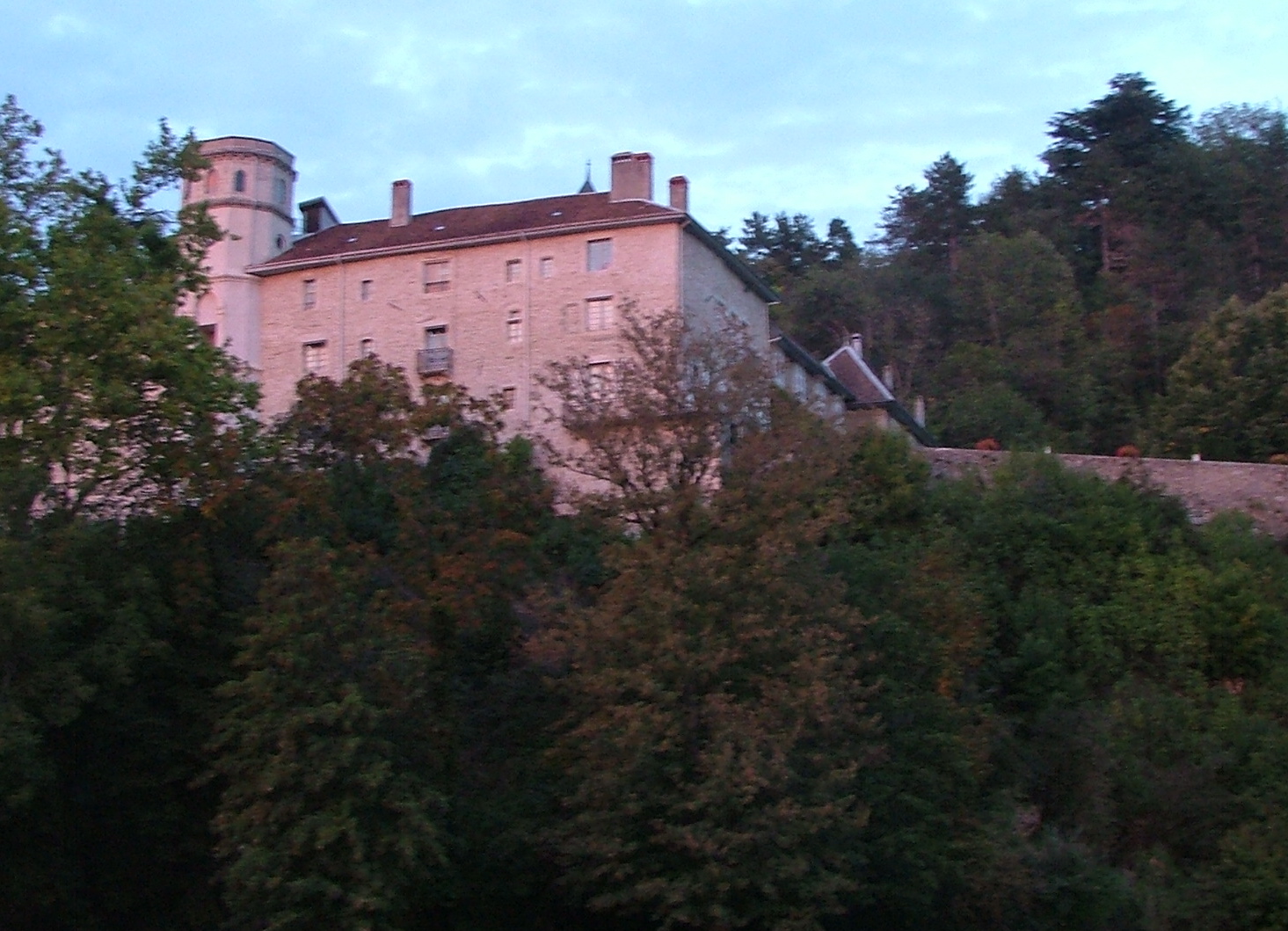
A castle at Lucey, reflecting the setting sun.
As you can see, it's a great sunset. By the time I hit Yenne, further
south, it was dark.
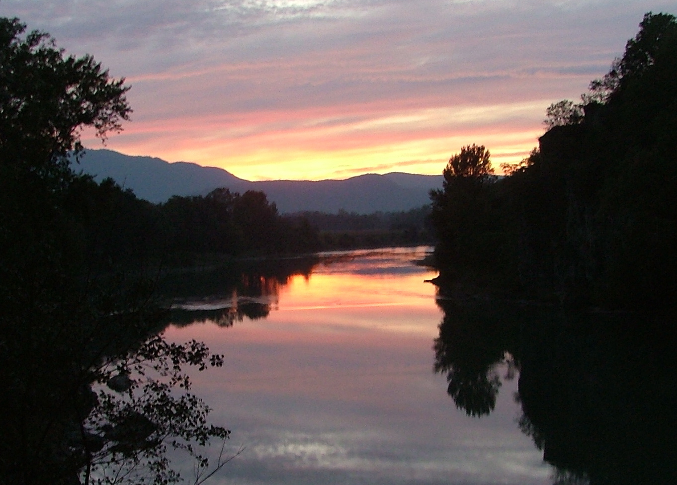
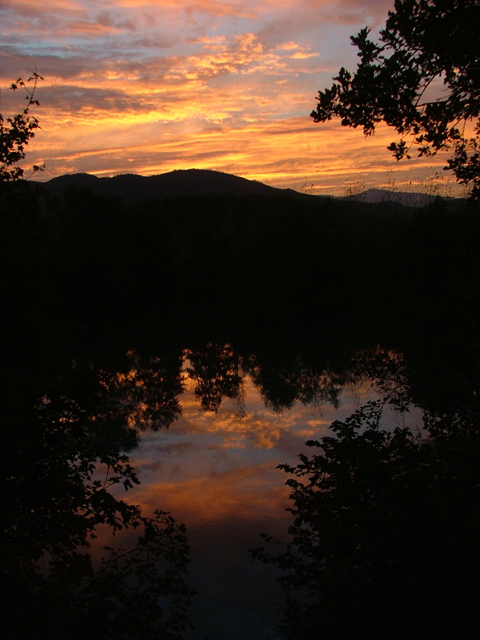
But no! Through another valley, and I see that the sun had just
set over another ridge, and I was treated to my third sunset, again
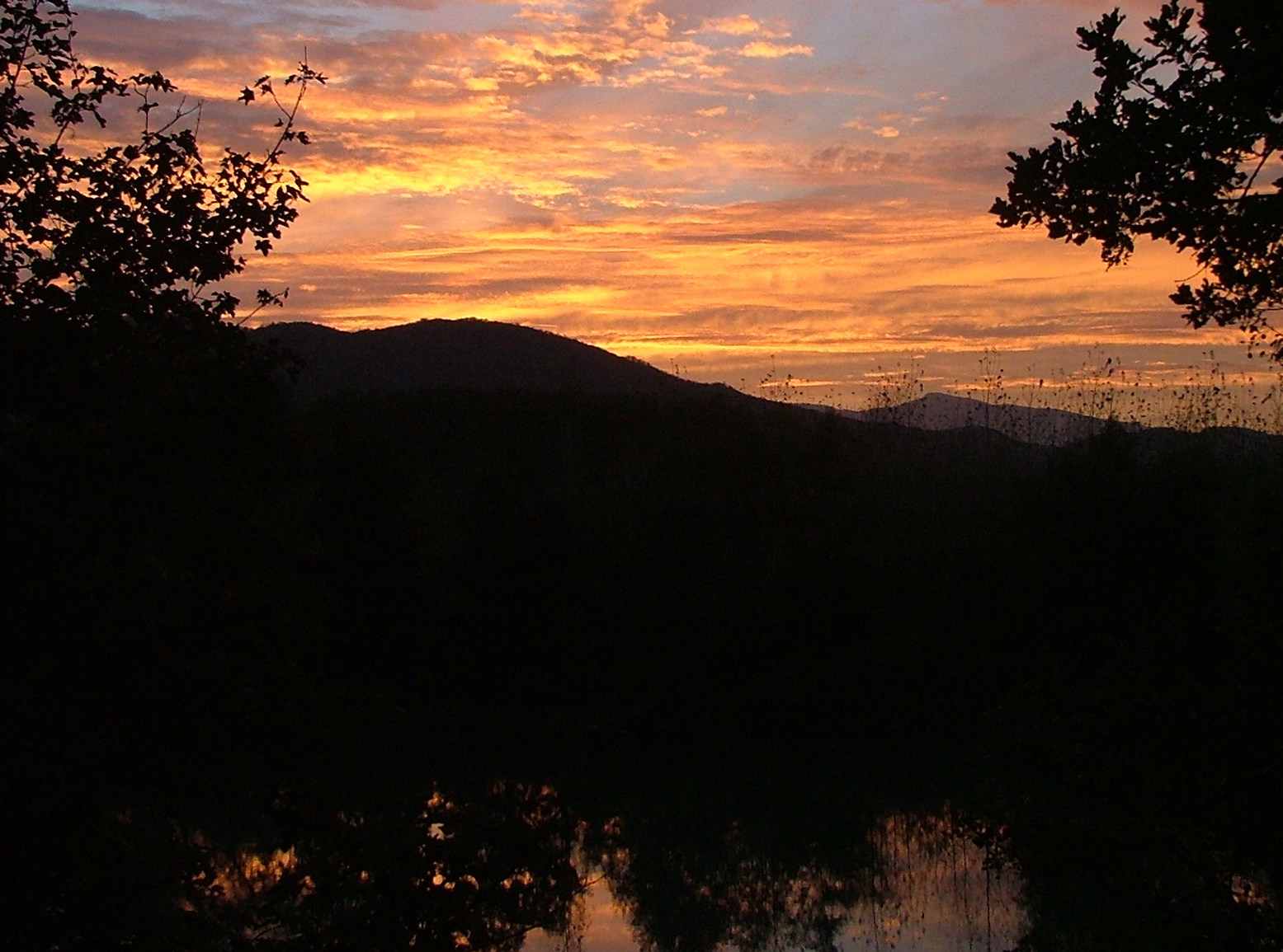
over the Rhone.
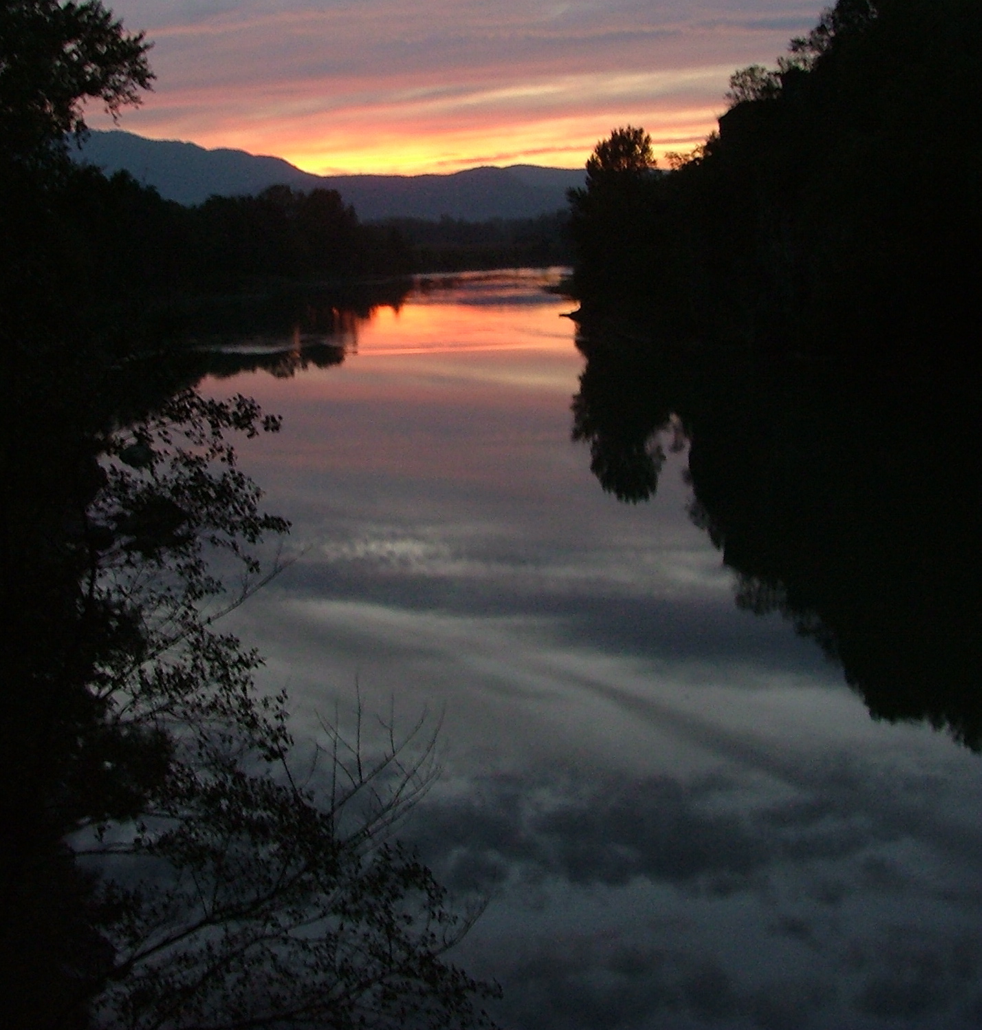
The final picture -- sunset with reflected clouds over the Rhone.
When I finally got to Lyon, the tally was nearly 14 hours of straight
driving. I should scan in a map to show the whole route. What a
wonderful day!